Tikitiki Area, Tikitiki Postcode & Map in Tikitiki
Tikitiki Area, Tikitiki Postcode & Map in Tikitiki, Gisborne District, New Zealand
Tikitiki, Gisborne District, New Zealand
Tikitiki Area (estimated)
263.4 square kilometersTikitiki Population (estimated)
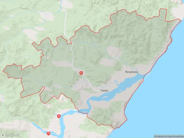
529 people live in Tikitiki, Waikato, NZTikitiki Suburb Area Map (Polygon)
Tikitiki Introduction
Tikitiki is a small town in the Waikato region of New Zealand. It is known for its beautiful beaches, lush green forests, and stunning natural scenery. The town has a population of around 1,000 people and is located on the banks of the Waikato River. Tikitiki is a popular destination for outdoor enthusiasts, with many walking and hiking trails, and a range of water sports activities available. The town also has a small museum and a community hall, which hosts a variety of events and activities throughout the year.Region
0Suburb Name
TikitikiOther Name(s)
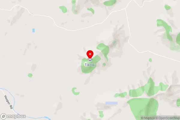
Maraehara, Port Awanui, Rangitukia, Waiomatatini, Wairoa, WhakawhitiraTikitiki Area Map (Street)
Local Authority
Gisborne DistrictFull Address
Tikitiki, Gisborne District, New ZealandAddress Type
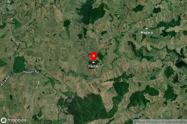
Locality in Major Locality TikitikiTikitiki Suburb Map (Satellite)
Country
Main Region in AU
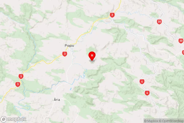
WaikatoTikitiki Region Map
Coordinates
-38.495435,175.065376 (latitude/longitude)Distances
The distance from Tikitiki, Tikitiki, Gisborne District to NZ Top 10 Cities