Tokomaru Bay Area, Tokomaru Bay Postcode(4010) & Map in Tokomaru Bay
Tokomaru Bay Area, Tokomaru Bay Postcode(4010) & Map in Tokomaru Bay, Gisborne District, New Zealand
Tokomaru Bay, Gisborne District, New Zealand
Tokomaru Bay Postcodes
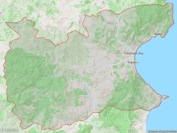
Tokomaru Bay Area (estimated)
259.4 square kilometersTokomaru Bay Population (estimated)
560 people live in Tokomaru Bay, Gisborne, NZTokomaru Bay Suburb Area Map (Polygon)
Tokomaru Bay Introduction
Tokomaru Bay is a picturesque beach located in Gisborne, New Zealand. It is known for its crystal-clear waters, stunning coastal scenery, and peaceful atmosphere. The bay is a popular spot for swimming, fishing, and kayaking, and it is surrounded by lush green forests and rolling hills. Visitors can also enjoy walking along the beachfront or exploring the nearby Tokomaru Forest Park, which is home to a variety of native birds and plants.Region
Major City
Suburb Name
Tokomaru BayOther Name(s)
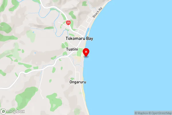
Hautanoa, Hikuwai, Ongaruru, Te Ariuru, Te Puka, Tuatini, WaimaTokomaru Bay Area Map (Street)
Local Authority
Gisborne DistrictFull Address
Tokomaru Bay, Gisborne District, New ZealandAddress Type
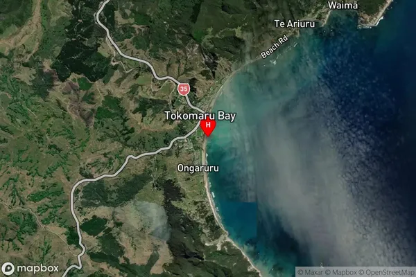
Locality in Major Locality Tokomaru BayTokomaru Bay Suburb Map (Satellite)
Country
Main Region in AU
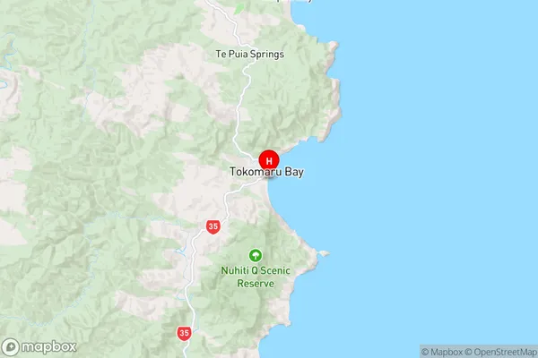
GisborneTokomaru Bay Region Map
Coordinates
-38.132,178.3181 (latitude/longitude)Distances
The distance from Tokomaru Bay, Tokomaru Bay, Gisborne District to NZ Top 10 Cities