Ruatoria Area, Ruatoria Postcode(4032) & Map in Ruatoria
Ruatoria Area, Ruatoria Postcode(4032) & Map in Ruatoria, Gisborne District, New Zealand
Ruatoria, Gisborne District, New Zealand
Ruatoria Area (estimated)
314.6 square kilometersRuatoria Population (estimated)
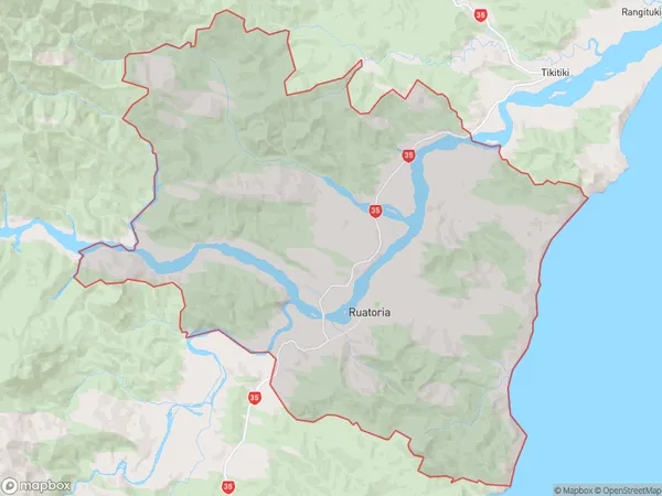
1146 people live in Ruatoria, Gisborne, NZRuatoria Suburb Area Map (Polygon)
Ruatoria Introduction
Ruatoria is a small town on the eastern coast of the North Island of New Zealand, located in the Gisborne District and known for its beautiful beaches, native forests, and cultural heritage. It is also home to the Ruatoria Airport, which provides air services to the region.Region
Major City
Suburb Name
RuatoriaOther Name(s)
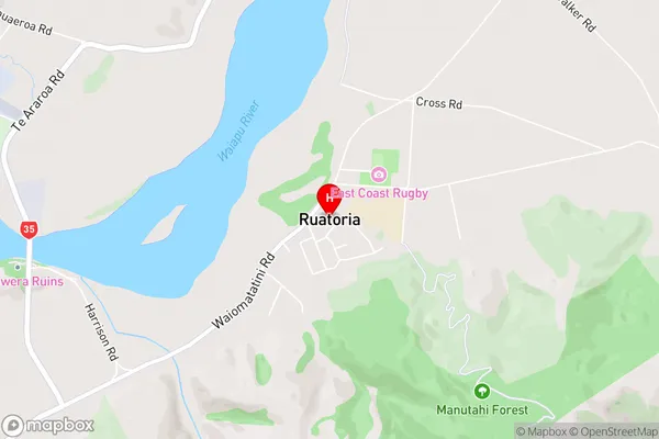
Hiruharama, Kakariki, Mahora, Papawera, Pohatukura, Port Awanui, Potaka, Reporua, Rotokautuku, Takamore, Tuparoa, Waiomatatini, Whakapourangi, Whakawhitira, WharepongaRuatoria Area Map (Street)
Local Authority
Gisborne DistrictFull Address
Ruatoria, Gisborne District, New ZealandAddress Type
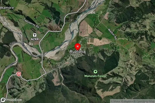
Suburb in Town RuatoriaRuatoria Suburb Map (Satellite)
Country
Main Region in AU
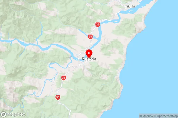
GisborneRuatoria Region Map
Coordinates
-37.8919955,178.3187514 (latitude/longitude)Distances
The distance from Ruatoria, Ruatoria, Gisborne District to NZ Top 10 Cities