Tolaga Bay Area, Tolaga Bay Postcode(4046) & Map in Tolaga Bay
Tolaga Bay Area, Tolaga Bay Postcode(4046) & Map in Tolaga Bay, Gisborne District, New Zealand
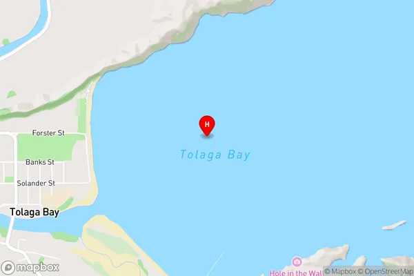
Tolaga Bay, Gisborne District, New Zealand
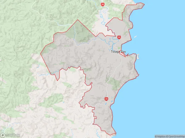
Tolaga Bay Area (estimated)
271.2 square kilometersTolaga Bay Population (estimated)
1180 people live in Tolaga Bay, Gisborne, NZTolaga Bay Suburb Area Map (Polygon)
Tolaga Bay Introduction
Tolaga Bay is a popular beach destination in Gisborne, New Zealand. It is known for its clear waters, golden sand, and stunning coastal scenery. The bay offers a range of activities, including swimming, surfing, fishing, and hiking. It is also home to a historic whaling station and a cultural museum.Region
Major City
Suburb Name
Tolaga BayOther Name(s)
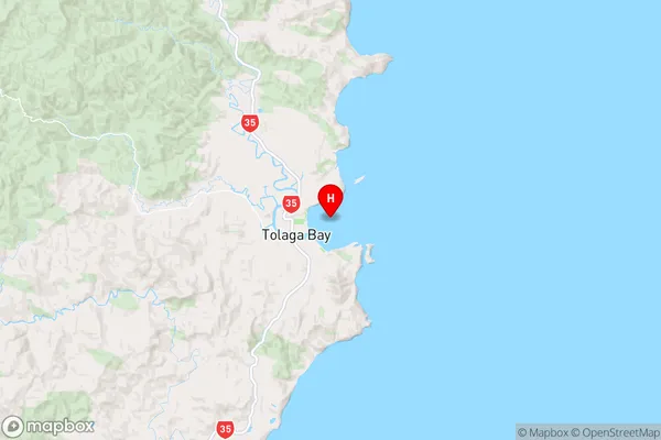
Hauiti, Paremata, Tologa, WharekakaTolaga Bay Area Map (Street)
Local Authority
Gisborne DistrictFull Address
Tolaga Bay, Gisborne District, New ZealandAddress Type
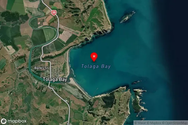
Locality in Town Tolaga BayTolaga Bay Suburb Map (Satellite)
Country
Main Region in AU
GisborneTolaga Bay Region Map
Coordinates
-38.36726335,178.320570031653 (latitude/longitude)Distances
The distance from Tolaga Bay, Tolaga Bay, Gisborne District to NZ Top 10 Cities