Gisborne Area, Gisborne Postcode(4010) & Map in Gisborne
Gisborne Area, Gisborne Postcode(4010) & Map in Gisborne, Gisborne District, New Zealand
Gisborne, Gisborne District, New Zealand
Gisborne Postcodes
Gisborne Area (estimated)
2.3 square kilometersGisborne Population (estimated)
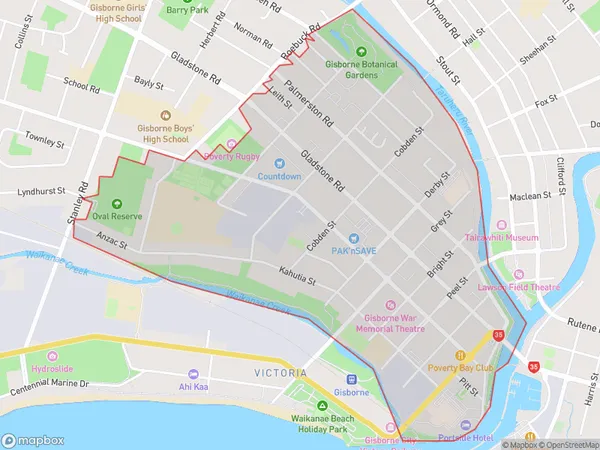
1784 people live in Gisborne, Gisborne, NZGisborne Suburb Area Map (Polygon)
Gisborne Introduction
Gisborne is a city in the eastern region of the North Island of New Zealand. It is the principal city of the Gisborne District and is situated on the Gisborne Region's eastern coast. Gisborne is known for its wine, forestry, and fishing industries. It is also home to the famous Gisborne International Wine Festival, which attracts visitors from around the world.Region
Major City
Suburb Name
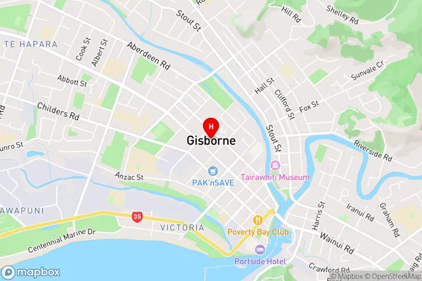
GisborneGisborne Area Map (Street)
Local Authority
Gisborne DistrictFull Address
Gisborne, Gisborne District, New ZealandAddress Type
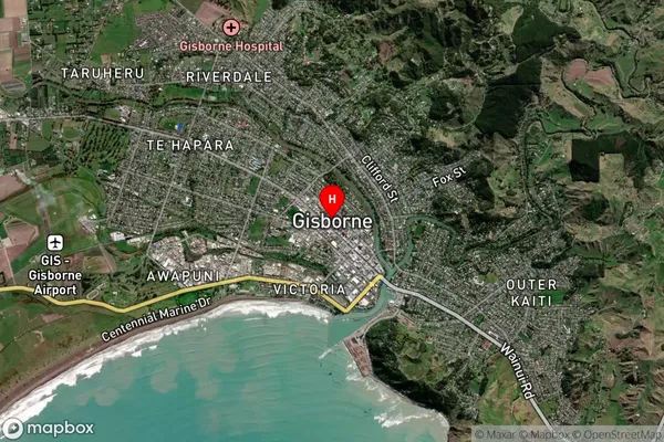
Suburb in Town GisborneGisborne Suburb Map (Satellite)
Country
Main Region in AU
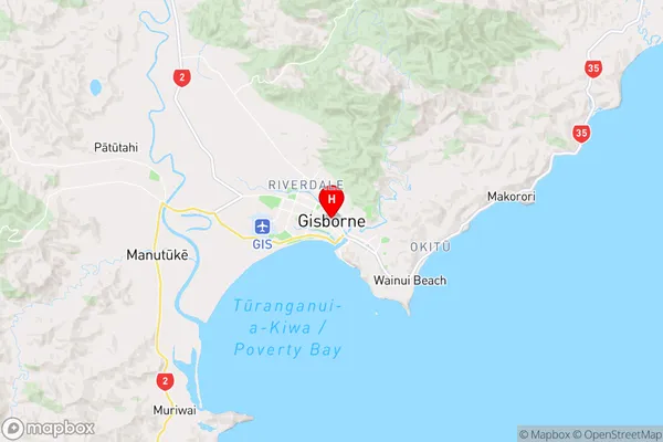
GisborneGisborne Region Map
Coordinates
-38.661326,178.0206487 (latitude/longitude)Distances
The distance from Gisborne, Gisborne, Gisborne District to NZ Top 10 Cities