Awapuni Area, Awapuni Postcode(4010) & Map in Awapuni
Awapuni Area, Awapuni Postcode(4010) & Map in Awapuni, Gisborne District, New Zealand
Awapuni, Gisborne District, New Zealand
Awapuni Postcodes
Awapuni Area (estimated)
2.9 square kilometersAwapuni Population (estimated)
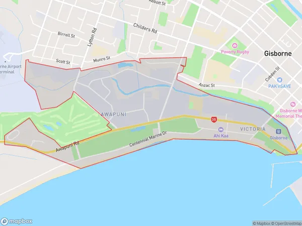
793 people live in Awapuni, Gisborne, NZAwapuni Suburb Area Map (Polygon)
Awapuni Introduction
Awapuni is a small rural town in Gisborne, New Zealand. It is known for its hot springs, beautiful gardens, and historic buildings. The town is also home to the Awapuni Racecourse, which hosts regular horse racing events. Awapuni is located on the eastern coast of the North Island, about 2 hours drive from Gisborne City.Region
Major City
Suburb Name
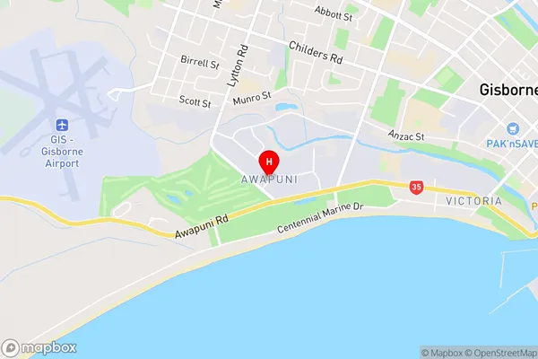
AwapuniAwapuni Area Map (Street)
Local Authority
Gisborne DistrictFull Address
Awapuni, Gisborne District, New ZealandAddress Type
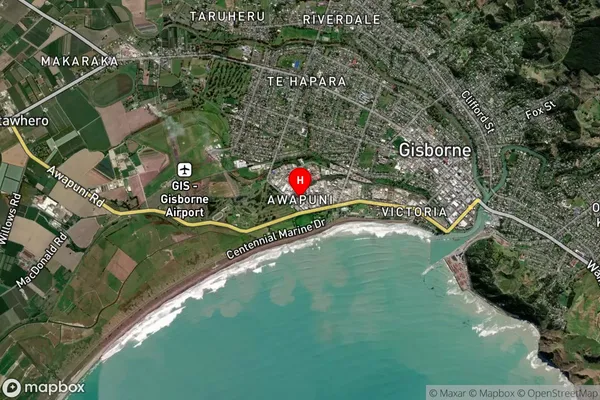
Suburb in Town GisborneAwapuni Suburb Map (Satellite)
Country
Main Region in AU
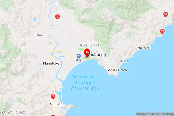
GisborneAwapuni Region Map
Coordinates
-38.668027,177.997526 (latitude/longitude)Distances
The distance from Awapuni, Gisborne, Gisborne District to NZ Top 10 Cities