Muriwai Area, Muriwai Postcode(4010) & Map in Muriwai
Muriwai Area, Muriwai Postcode(4010) & Map in Muriwai, Gisborne District, New Zealand
Muriwai, Gisborne District, New Zealand
Muriwai Postcodes
Muriwai Area (estimated)
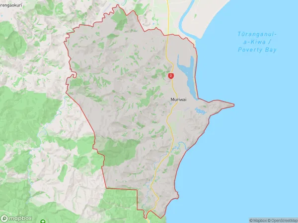
138.3 square kilometersMuriwai Population (estimated)
426 people live in Muriwai, Gisborne, NZMuriwai Suburb Area Map (Polygon)
Muriwai Introduction
Muriwai is a small coastal village located in the Gisborne region of New Zealand's North Island. It is known for its stunning natural beauty, including the iconic Muriwai Beach, which is a popular destination for surfers and nature enthusiasts alike. The village has a population of around 1,000 people and is surrounded by lush farmland, native forests, and the Pacific Ocean.Region
Major City
Suburb Name
MuriwaiOther Name(s)
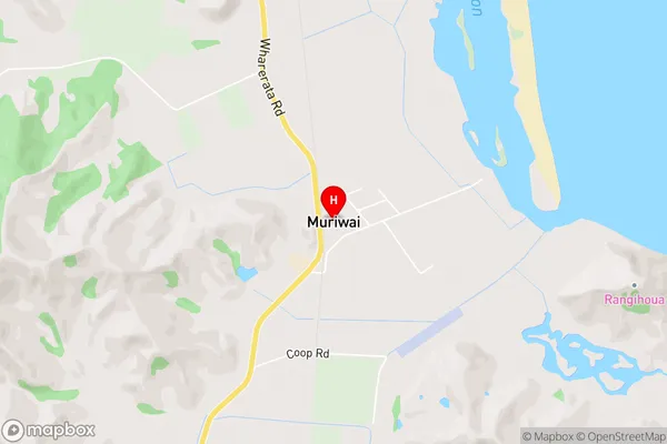
Maraetaha, Ruakaturi, Te Rerengaotukiriahi, WharerataMuriwai Area Map (Street)
Local Authority
Gisborne DistrictFull Address
Muriwai, Gisborne District, New ZealandAddress Type
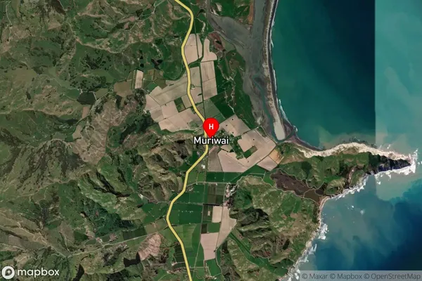
Locality in Town ManutukeMuriwai Suburb Map (Satellite)
Country
Main Region in AU
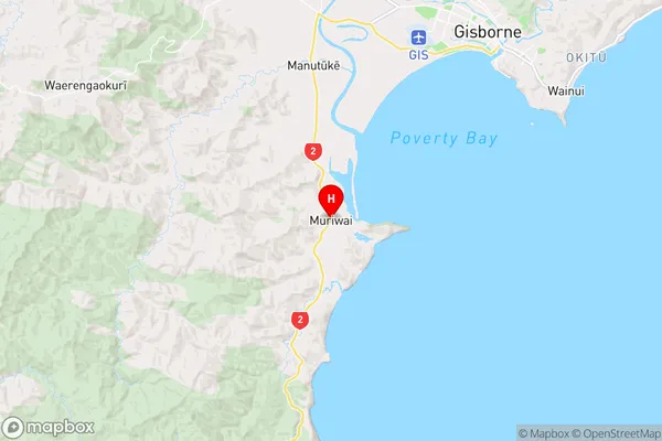
GisborneMuriwai Region Map
Coordinates
-38.7530673,177.9231726 (latitude/longitude)Distances
The distance from Muriwai, Manutuke, Gisborne District to NZ Top 10 Cities