Coutts Island Area, Coutts Island Postcode(8051) & Map in Coutts Island
Coutts Island Area, Coutts Island Postcode(8051) & Map in Coutts Island, Christchurch City, New Zealand
Coutts Island, Christchurch City, New Zealand
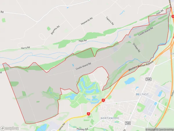
Coutts Island Area (estimated)
14.4 square kilometersCoutts Island Population (estimated)
94 people live in Coutts Island, Christchurch, NZCoutts Island Suburb Area Map (Polygon)
Coutts Island Introduction
Coutts Island is a small island in the Orford River, located in Christchurch, Canterbury, New Zealand. It is home to a large colony of New Zealand fur seals and is a popular tourist destination. The island is accessible by a short ferry ride from the mainland and has a variety of walking trails and viewpoints. The island also has a historic lighthouse and a small museum.Region
Major City
Suburb Name
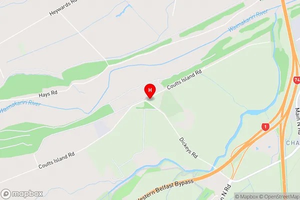
Coutts IslandCoutts Island Area Map (Street)
Local Authority
Christchurch CityFull Address
Coutts Island, Christchurch City, New ZealandAddress Type
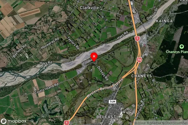
Suburb in City ChristchurchCoutts Island Suburb Map (Satellite)
Country
Main Region in AU
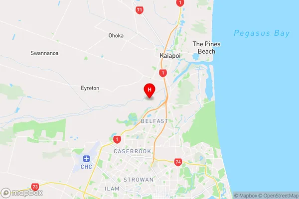
CanterburyCoutts Island Region Map
Coordinates
-43.4271949,172.6238394 (latitude/longitude)Distances
The distance from Coutts Island, Christchurch, Christchurch City to NZ Top 10 Cities