Raupunga Area, Raupunga Postcode(4191) & Map in Raupunga
Raupunga Area, Raupunga Postcode(4191) & Map in Raupunga, Wairoa District, New Zealand
Raupunga, Wairoa District, New Zealand
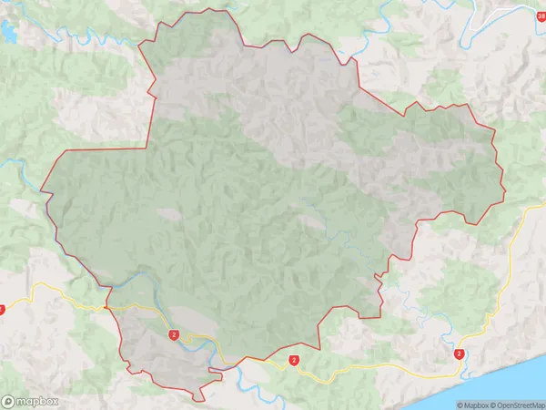
Raupunga Area (estimated)
266.1 square kilometersRaupunga Population (estimated)
243 people live in Raupunga, Hawke's Bay, NZRaupunga Suburb Area Map (Polygon)
Raupunga Introduction
Raupunga is a small rural community in Hawke's Bay, New Zealand, known for its picturesque gardens and historic buildings. It is located on the banks of the Raupunga River and is surrounded by farmland and native bush. The area has a rich history, with early Māori settlements and a European presence dating back to the 1840s. Raupunga today is a popular tourist destination and a hub for local arts and crafts.Region
Major City
Suburb Name
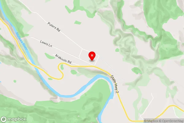
RaupungaRaupunga Area Map (Street)
Local Authority
Wairoa DistrictFull Address
Raupunga, Wairoa District, New ZealandAddress Type
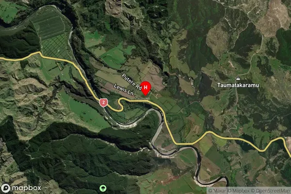
Locality in Major Locality RaupungaRaupunga Suburb Map (Satellite)
Country
Main Region in AU
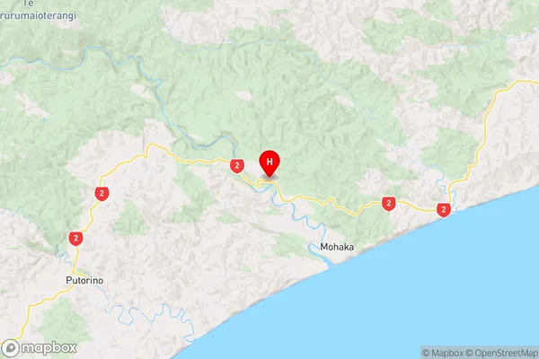
Hawke's BayRaupunga Region Map
Coordinates
-39.073311,177.1456061 (latitude/longitude)Distances
The distance from Raupunga, Raupunga, Wairoa District to NZ Top 10 Cities