Tutira Area, Tutira Postcode(4162) & Map in Tutira
Tutira Area, Tutira Postcode(4162) & Map in Tutira, Hastings District, New Zealand
Tutira, Hastings District, New Zealand
Tutira Area (estimated)
260.7 square kilometersTutira Population (estimated)
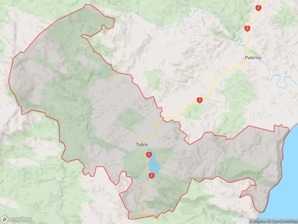
221 people live in Tutira, Hawke's Bay, NZTutira Suburb Area Map (Polygon)
Tutira Introduction
Tutira is a small rural town located in the Napier region of Hawke's Bay, New Zealand. It is known for its historic buildings, including the Tutira Museum, which houses a collection of local history and artifacts. The town also has a beautiful beach and a popular golf course. Tutira is surrounded by farmland and has a peaceful, rural atmosphere.Region
Major City
Suburb Name
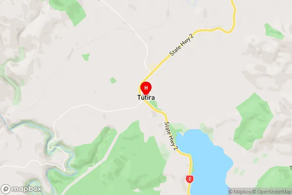
TutiraTutira Area Map (Street)
Local Authority
Hastings DistrictFull Address
Tutira, Hastings District, New ZealandAddress Type
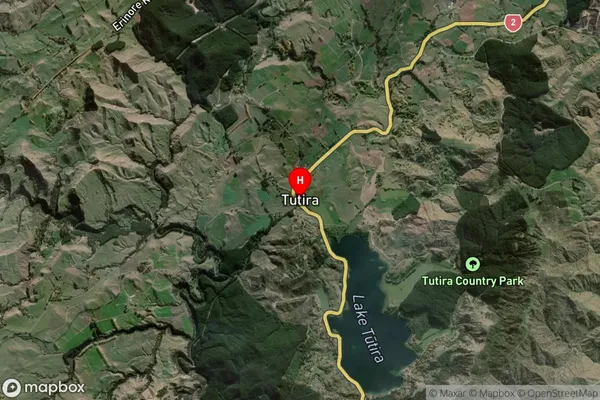
Locality in City NapierTutira Suburb Map (Satellite)
Country
Main Region in AU
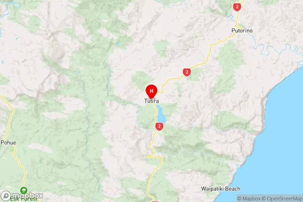
Hawke's BayTutira Region Map
Coordinates
-39.2074502,176.8811917 (latitude/longitude)Distances
The distance from Tutira, Napier, Hastings District to NZ Top 10 Cities