Napier Airport Area, Napier Airport Postcode(4141) & Map in Napier Airport
Napier Airport Area, Napier Airport Postcode(4141) & Map in Napier Airport, Napier City, New Zealand
Napier Airport, Napier City, New Zealand
Napier Airport Postcodes
Napier Airport Area (estimated)
2.5 square kilometersNapier Airport Population (estimated)
0 people live in Napier Airport, Napier, NZNapier Airport Suburb Area Map (Polygon)
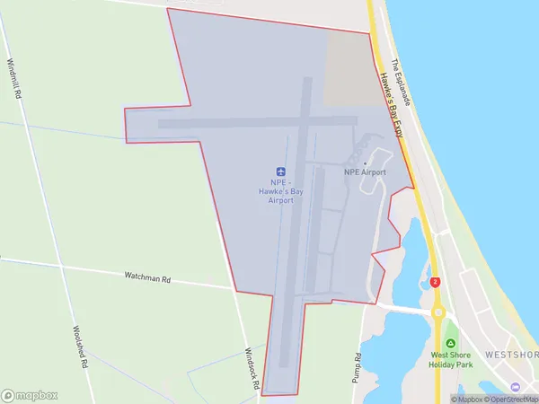
Napier Airport Introduction
Napier Airport, located in Napier, Hawke's Bay, New Zealand, is the central hub for air travel in the region. It is the third-busiest airport in New Zealand and serves as a major gateway for tourists visiting the Bay of Plenty and the Central North Island. The airport offers a range of services and facilities, including car rental, cafes, and shops. It is also home to several airlines, including Air New Zealand, Jetstar, and Regional Express.Region
Major City
Suburb Name
Napier AirportOther Name(s)
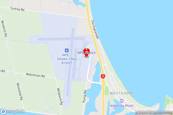
Hawkes Bay AirportNapier Airport Area Map (Street)
Local Authority
Napier CityFull Address
Napier Airport, Napier City, New ZealandAddress Type
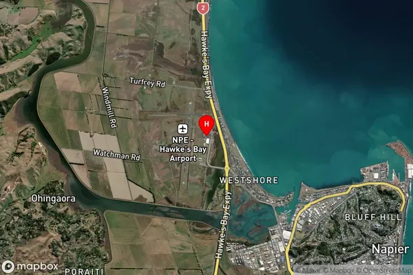
Suburb in City NapierNapier Airport Suburb Map (Satellite)
Country
Main Region in AU
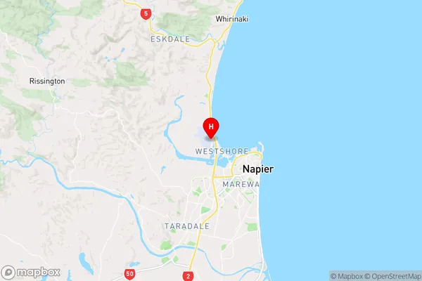
Hawke's BayNapier Airport Region Map
Coordinates
-39.468735,176.872021 (latitude/longitude)Distances
The distance from Napier Airport, Napier, Napier City to NZ Top 10 Cities