Kotemaori Area, Kotemaori Postcode(4188) & Map in Kotemaori
Kotemaori Area, Kotemaori Postcode(4188) & Map in Kotemaori, Wairoa District, New Zealand
Kotemaori, Wairoa District, New Zealand
Kotemaori Area (estimated)
256.9 square kilometersKotemaori Population (estimated)
110 people live in Kotemaori, Hawke's Bay, NZKotemaori Suburb Area Map (Polygon)
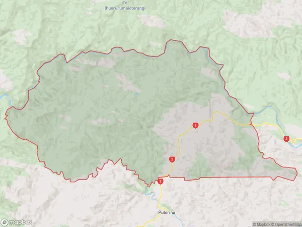
Kotemaori Introduction
Kotemaori is a small rural community in Hawke's Bay, New Zealand, known for its stunning coastal scenery, rich cultural heritage, and friendly community. It is located on the eastern coast of the Bay, approximately 30 minutes drive from Hastings. The area has a population of around 1,000 people and is home to a variety of businesses, including a supermarket, a post office, a petrol station, and several cafes and restaurants. Kotemaori is also a popular destination for outdoor enthusiasts, with several walking and cycling trails nearby. The community is proud of its heritage, with a strong Maori influence evident in its culture and traditions.Region
Major City
Suburb Name
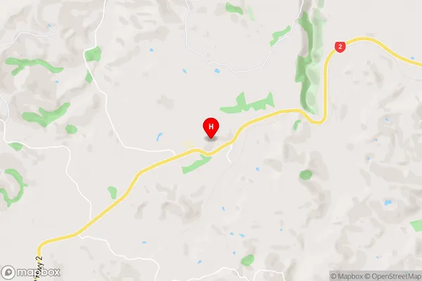
KotemaoriKotemaori Area Map (Street)
Local Authority
Wairoa DistrictFull Address
Kotemaori, Wairoa District, New ZealandAddress Type
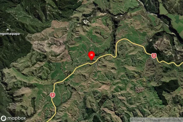
Locality in Major Locality KotemaoriKotemaori Suburb Map (Satellite)
Country
Main Region in AU
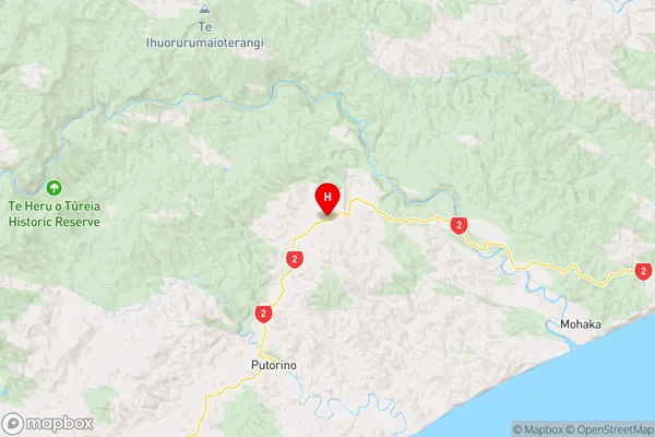
Hawke's BayKotemaori Region Map
Coordinates
-39.061704,177.0380482 (latitude/longitude)Distances
The distance from Kotemaori, Kotemaori, Wairoa District to NZ Top 10 Cities