Napier Port Area, Napier Port Postcode & Map in Napier Port
Napier Port Area, Napier Port Postcode & Map in Napier Port, Napier City, New Zealand
Napier Port, Napier City, New Zealand
Napier Port Area (estimated)
0.7 square kilometersNapier Port Population (estimated)
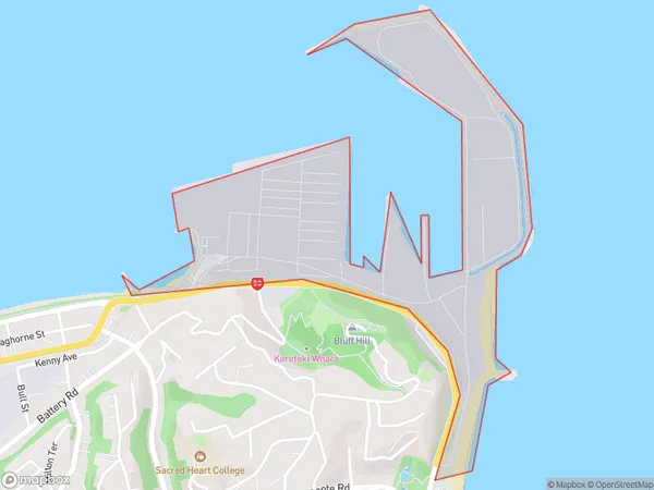
0 people live in Napier Port, Napier, NZNapier Port Suburb Area Map (Polygon)
Napier Port Introduction
Napier Port is New Zealand's oldest and busiest commercial port. It is located in the city of Napier, in Hawke's Bay, and is a vital hub for the country's agricultural, forestry, and wine industries. The port handles a wide range of cargo, including container ships, bulk carriers, and livestock. It also has a significant passenger ferry service to nearby islands.Region
Major City
Suburb Name
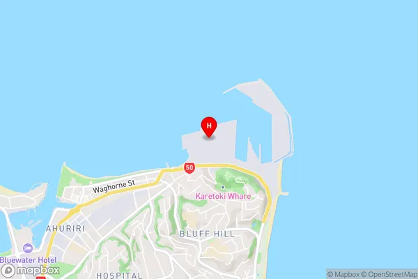
Napier PortNapier Port Area Map (Street)
Local Authority
Napier CityFull Address
Napier Port, Napier City, New ZealandAddress Type
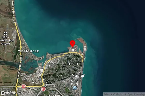
Suburb in City NapierNapier Port Suburb Map (Satellite)
Country
Main Region in AU
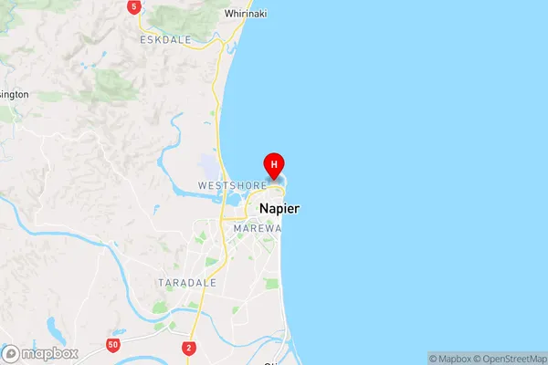
Hawke's BayNapier Port Region Map
Coordinates
-39.4751357,176.913790814101 (latitude/longitude)Distances
The distance from Napier Port, Napier, Napier City to NZ Top 10 Cities