Haumoana Area, Haumoana Postcode(4180) & Map in Haumoana
Haumoana Area, Haumoana Postcode(4180) & Map in Haumoana, Hastings District, New Zealand
Haumoana, Hastings District, New Zealand
Haumoana Area (estimated)
27.9 square kilometersHaumoana Population (estimated)
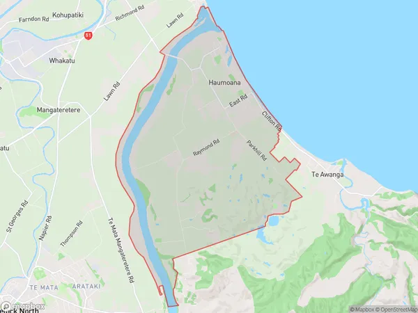
1748 people live in Haumoana, Hawke's Bay, NZHaumoana Suburb Area Map (Polygon)
Haumoana Introduction
Haumoana is a small rural community in the Hawke's Bay region of New Zealand. It is known for its beautiful beaches, lush green valleys, and stunning natural scenery. The community has a population of around 100 people and is located on the coast of the Pacific Ocean. Haumoana is a popular destination for tourists and outdoor enthusiasts, with many opportunities for hiking, fishing, and surfing. The area is also home to a number of historic buildings and sites, including a former kauri gum factory and a historic church.Region
Major City
Suburb Name
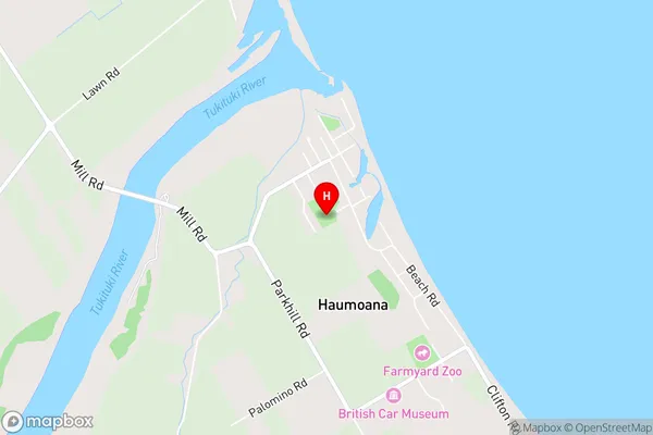
HaumoanaHaumoana Area Map (Street)
Local Authority
Hastings DistrictFull Address
Haumoana, Hastings District, New ZealandAddress Type
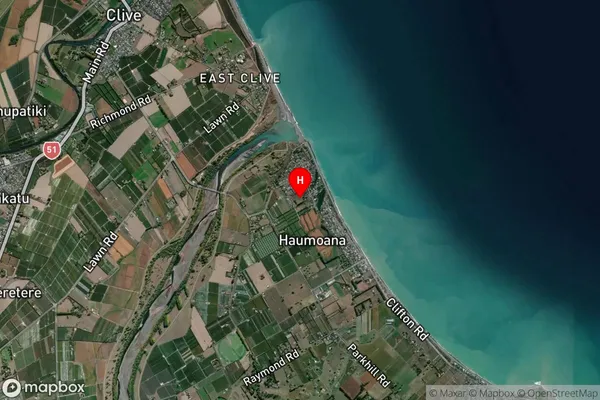
Suburb in Town HaumoanaHaumoana Suburb Map (Satellite)
Country
Main Region in AU
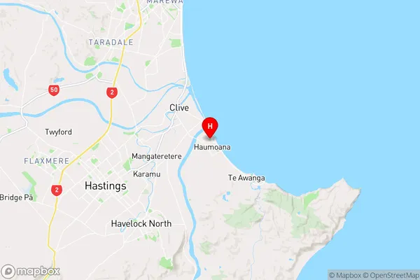
Hawke's BayHaumoana Region Map
Coordinates
-39.6072711,176.9457704 (latitude/longitude)Distances
The distance from Haumoana, Haumoana, Hastings District to NZ Top 10 Cities