Te Awa Area, Te Awa Postcode(4001) & Map in Te Awa
Te Awa Area, Te Awa Postcode(4001) & Map in Te Awa, Napier City, New Zealand
Te Awa, Napier City, New Zealand
Te Awa Area (estimated)
1.2 square kilometersTe Awa Population (estimated)
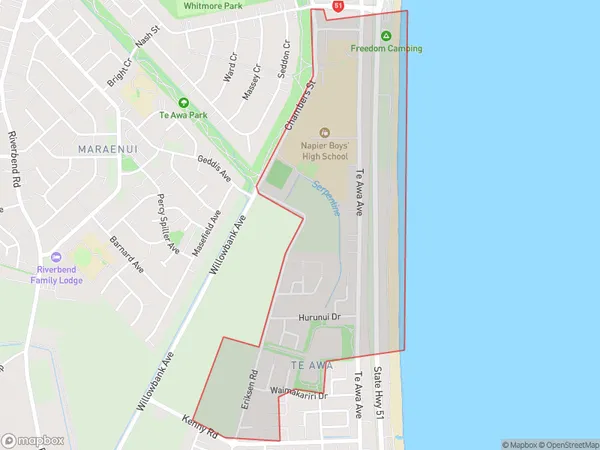
815 people live in Te Awa, Napier, NZTe Awa Suburb Area Map (Polygon)
Te Awa Introduction
Te Awa is a small coastal town in Hawke's Bay, New Zealand. It is known for its stunning natural beauty, including the Te Awa River, the largest tidal estuary in New Zealand. The town has a rich history and culture, with a strong Maori presence. It is also home to a popular winery and a popular beach.Region
Major City
Suburb Name
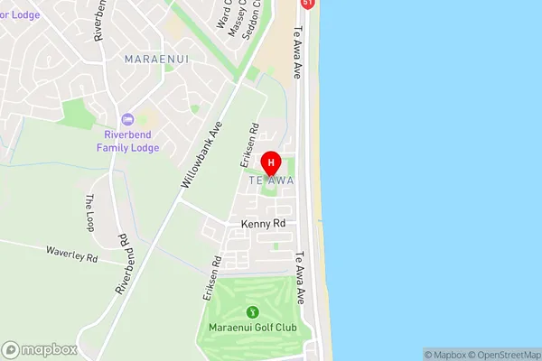
Te AwaTe Awa Area Map (Street)
Local Authority
Napier CityFull Address
Te Awa, Napier City, New ZealandAddress Type
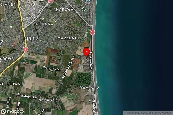
Suburb in City NapierTe Awa Suburb Map (Satellite)
Country
Main Region in AU
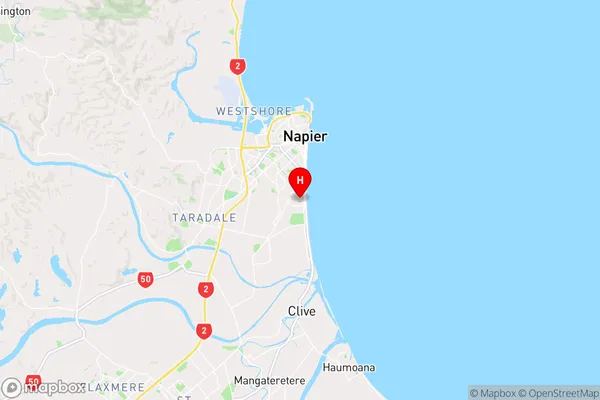
Hawke's BayTe Awa Region Map
Coordinates
-39.5239851,176.9143344 (latitude/longitude)Distances
The distance from Te Awa, Napier, Napier City to NZ Top 10 Cities