Omakere Area, Omakere Postcode & Map in Omakere
Omakere Area, Omakere Postcode & Map in Omakere, Central Hawke's Bay District, New Zealand
Omakere, Central Hawke's Bay District, New Zealand
Omakere Area (estimated)
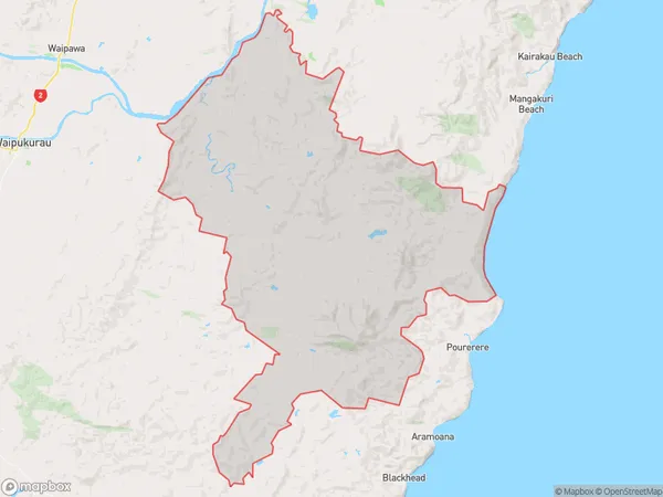
315.5 square kilometersOmakere Population (estimated)
200 people live in Omakere, Hawke's Bay, NZOmakere Suburb Area Map (Polygon)
Omakere Introduction
Omakere is a small rural settlement in Hawke's Bay, New Zealand. It is located on State Highway 2, approximately 10 kilometers south of Wairoa and 12 kilometers north of Hastings. The area is known for its scenic beauty, with rolling hills, farmland, and picturesque beaches. Omakere has a population of around 100 people and is a popular destination for tourists who enjoy hiking, fishing, and birdwatching. The settlement also has a small community hall and a post office.Region
Major City
Suburb Name
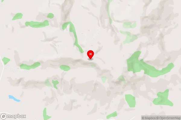
OmakereOmakere Area Map (Street)
Local Authority
Central Hawke's Bay DistrictFull Address
Omakere, Central Hawke's Bay District, New ZealandAddress Type
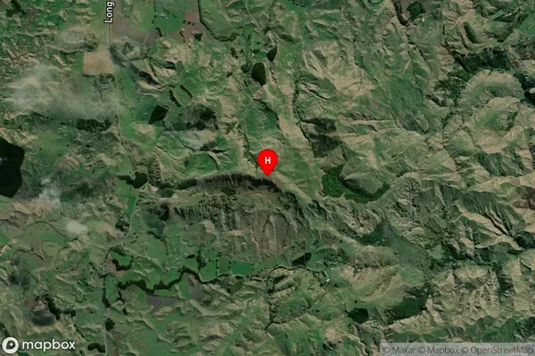
Locality in Major Locality OmakereOmakere Suburb Map (Satellite)
Country
Main Region in AU
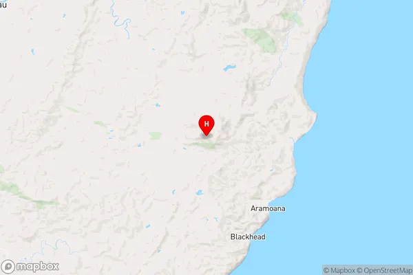
Hawke's BayOmakere Region Map
Coordinates
-40.092778,176.783417 (latitude/longitude)Distances
The distance from Omakere, Omakere, Central Hawke's Bay District to NZ Top 10 Cities