Pourerere Area, Pourerere Postcode & Map in Pourerere
Pourerere Area, Pourerere Postcode & Map in Pourerere, Central Hawke's Bay District, New Zealand
Pourerere, Central Hawke's Bay District, New Zealand
Pourerere Area (estimated)
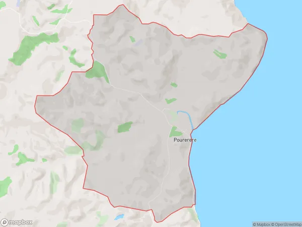
22.0 square kilometersPourerere Population (estimated)
87 people live in Pourerere, Hawke's Bay, NZPourerere Suburb Area Map (Polygon)
Pourerere Introduction
Pourerere is a small rural community in the Hawke's Bay region of New Zealand. It is known for its stunning natural scenery, including the Pourere River and the surrounding hills. The community has a strong Maori heritage and is home to a number of historic buildings. Pourerere is a popular destination for outdoor enthusiasts, with many opportunities for hiking, fishing, and hunting.Region
Major City
Suburb Name
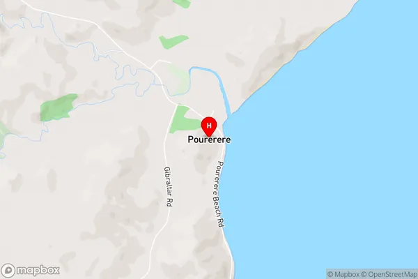
PourererePourerere Area Map (Street)
Local Authority
Central Hawke's Bay DistrictFull Address
Pourerere, Central Hawke's Bay District, New ZealandAddress Type
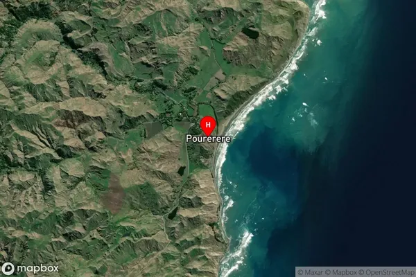
Locality in Major Locality OmakerePourerere Suburb Map (Satellite)
Country
Main Region in AU
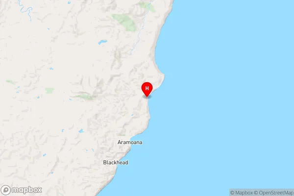
Hawke's BayPourerere Region Map
Coordinates
-40.0995209,176.8687195 (latitude/longitude)Distances
The distance from Pourerere, Omakere, Central Hawke's Bay District to NZ Top 10 Cities