Aramoana Area, Aramoana Postcode(9082) & Map in Aramoana
Aramoana Area, Aramoana Postcode(9082) & Map in Aramoana, Central Hawke's Bay District, New Zealand
Aramoana, Central Hawke's Bay District, New Zealand
Aramoana Postcodes
Aramoana Area (estimated)
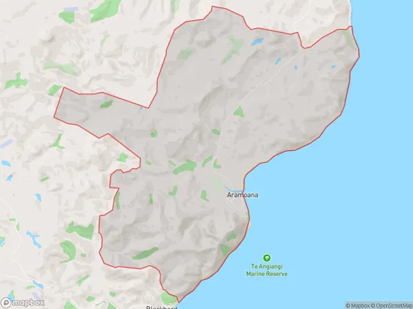
23.3 square kilometersAramoana Population (estimated)
47 people live in Aramoana, Hawke's Bay, NZAramoana Suburb Area Map (Polygon)
Aramoana Introduction
Aramoana is a small coastal settlement in the Omakere area of Hawke's Bay, New Zealand. It is known for its beautiful beach and stunning coastal views. The area is popular with tourists and has a variety of accommodation options, including holiday homes and campgrounds. Aramoana is also home to a small community of people who live in the area year-round.Region
Major City
Suburb Name
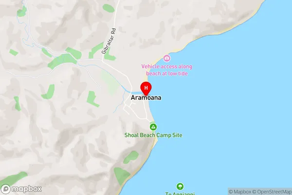
AramoanaAramoana Area Map (Street)
Local Authority
Central Hawke's Bay DistrictFull Address
Aramoana, Central Hawke's Bay District, New ZealandAddress Type
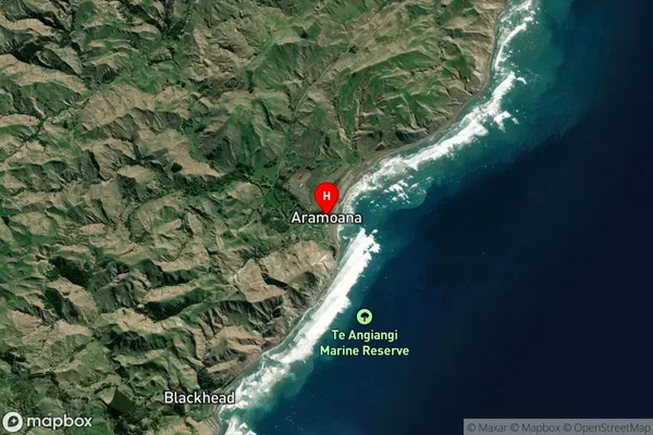
Locality in Major Locality OmakereAramoana Suburb Map (Satellite)
Country
Main Region in AU
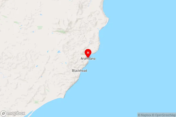
Hawke's BayAramoana Region Map
Coordinates
-40.146855,176.8447526 (latitude/longitude)Distances
The distance from Aramoana, Omakere, Central Hawke's Bay District to NZ Top 10 Cities