Pongaroa Area, Pongaroa Postcode(4944) & Map in Pongaroa
Pongaroa Area, Pongaroa Postcode(4944) & Map in Pongaroa, Tararua District, New Zealand
Pongaroa, Tararua District, New Zealand
Pongaroa Postcodes
Pongaroa Area (estimated)
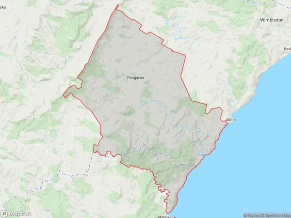
707.9 square kilometersPongaroa Population (estimated)
349 people live in Pongaroa, Manawatu-Wanganui, NZPongaroa Suburb Area Map (Polygon)
Pongaroa Introduction
Pongaroa is a small rural town in the Manawatu-Wanganui region of New Zealand. It is located on State Highway 3, approximately 35 kilometers north of Palmerston North. The town is known for its scenic surroundings, including the Pongaroa Forest and the Pongaroa Range. The population of Pongaroa is around 100 people, with a majority of the residents being of European descent. The town has a primary school, a post office, and a small supermarket. Pongaroa is also home to a popular golf course, which is a popular destination for tourists and locals alike.Region
Major City
Suburb Name
PongaroaOther Name(s)
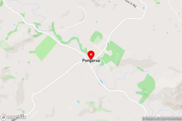
Akaroa, Kohiku, Korora, Mangatiti, Mara, Owahanga, Puketoi, Pukewhinau, Rakaunui, Waihoki, Waihoki ValleyPongaroa Area Map (Street)
Local Authority
Tararua DistrictFull Address
Pongaroa, Tararua District, New ZealandAddress Type
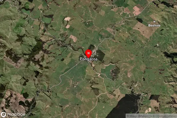
Locality in Major Locality PongaroaPongaroa Suburb Map (Satellite)
Country
Main Region in AU
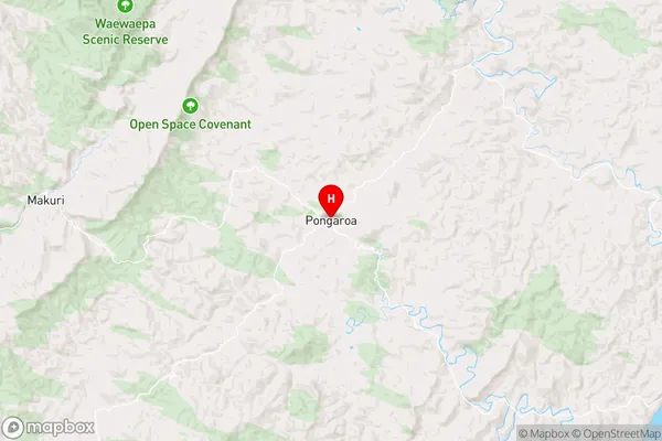
Manawatu-WanganuiPongaroa Region Map
Coordinates
-40.5428315,176.1922011 (latitude/longitude)Distances
The distance from Pongaroa, Pongaroa, Tararua District to NZ Top 10 Cities