Corriedale Area, Corriedale Postcode & Map in Corriedale
Corriedale Area, Corriedale Postcode & Map in Corriedale, Waitaki District, New Zealand
Corriedale, Waitaki District, New Zealand
Corriedale Area (estimated)
12.6 square kilometersCorriedale Population (estimated)
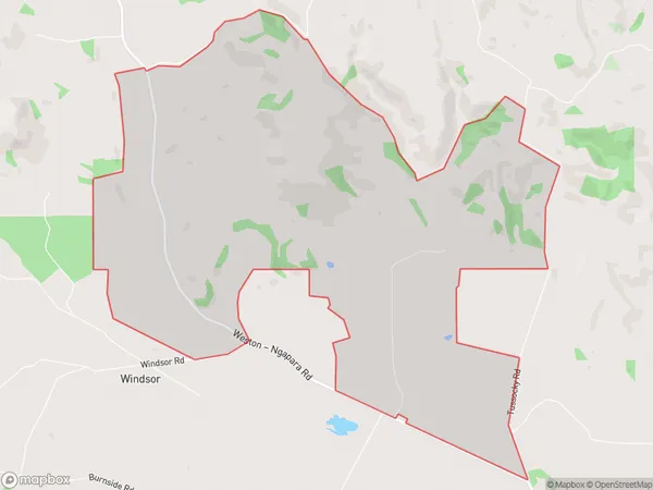
46 people live in Corriedale, Otago, NZCorriedale Suburb Area Map (Polygon)
Corriedale Introduction
Corriedale is a small rural town located in the Otago region of New Zealand. It is known for its picturesque scenery, including rolling hills, lush green fields, and the Corriedale River. The town has a population of around 2,000 people and is a popular destination for tourists who enjoy hiking, fishing, and skiing. The town also has a historic stone church and a variety of local businesses, including a hotel, a pub, and a supermarket.Region
Major City
Suburb Name
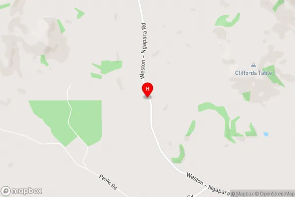
CorriedaleCorriedale Area Map (Street)
Local Authority
Waitaki DistrictFull Address
Corriedale, Waitaki District, New ZealandAddress Type
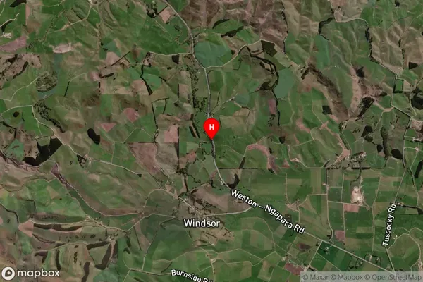
Locality in Town OamaruCorriedale Suburb Map (Satellite)
Country
Main Region in AU
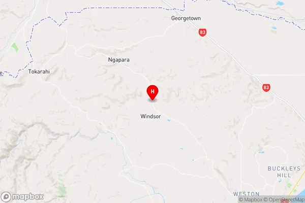
OtagoCorriedale Region Map
Coordinates
-44.9901919,170.7983065 (latitude/longitude)Distances
The distance from Corriedale, Oamaru, Waitaki District to NZ Top 10 Cities