Whakataki Area, Whakataki Postcode(5810) & Map in Whakataki
Whakataki Area, Whakataki Postcode(5810) & Map in Whakataki, Masterton District, New Zealand
Whakataki, Masterton District, New Zealand
Whakataki Postcodes
Whakataki Area (estimated)
3.7 square kilometersWhakataki Population (estimated)
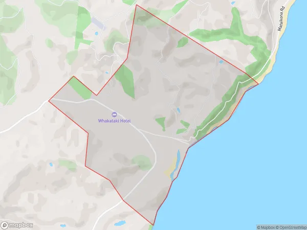
33 people live in Whakataki, Wellington, NZWhakataki Suburb Area Map (Polygon)
Whakataki Introduction
Whakataki is a small coastal village located in Tinui, Wellington, New Zealand. It is known for its stunning natural beauty, including a peaceful beach, native forests, and a picturesque lighthouse. The village has a population of around 100 people and is a popular destination for tourists and locals alike. It is also home to a small community of artists and craftspeople who work in various mediums, including pottery, painting, and sculpture.Region
Major City
Suburb Name
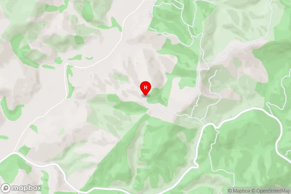
WhakatakiWhakataki Area Map (Street)
Local Authority
Masterton DistrictFull Address
Whakataki, Masterton District, New ZealandAddress Type
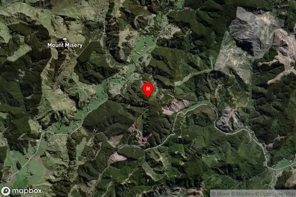
Locality in Major Locality TinuiWhakataki Suburb Map (Satellite)
Country
Main Region in AU
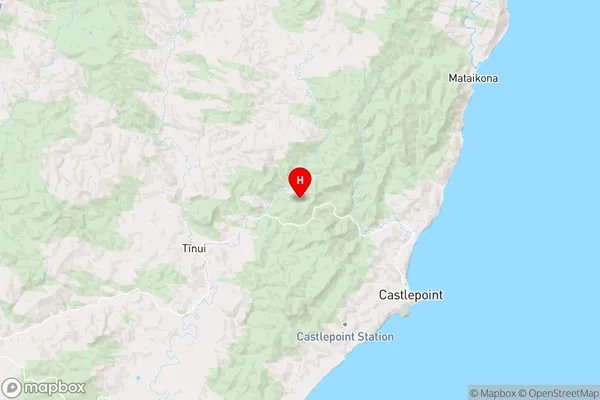
WellingtonWhakataki Region Map
Coordinates
-40.851639,176.145722 (latitude/longitude)Distances
The distance from Whakataki, Tinui, Masterton District to NZ Top 10 Cities