Otahome Area, Otahome Postcode & Map in Otahome
Otahome Area, Otahome Postcode & Map in Otahome, Masterton District,
Otahome, Masterton District,
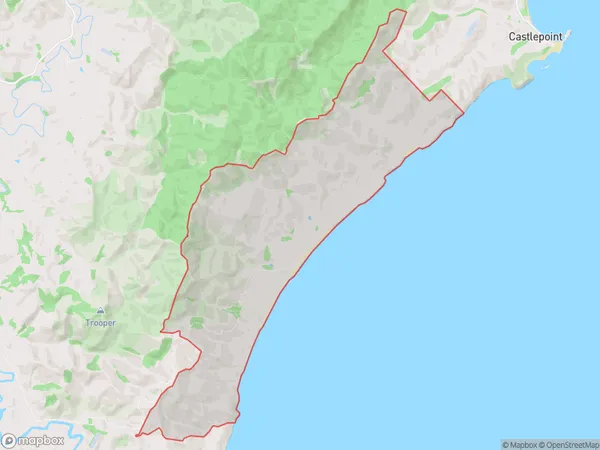
Otahome Area (estimated)
32.4 square kilometersOtahome Population (estimated)
29 people live in Otahome, Masterton, NZOtahome Suburb Area Map (Polygon)
Otahome Introduction
Otahome is a small rural community located in the Wairarapa region of New Zealand, known for its picturesque countryside and historic buildings. It is situated between Masterton and Wellington, approximately 100 kilometers north of the capital city. The area has a rich history, with early European settlers arriving in the 1840s and establishing farms and settlements. Today, Otahome is a popular destination for tourists who enjoy hiking, cycling, and exploring the local heritage.Region
Major City
Suburb Name
OtahomeOtahome Area Map (Street)
Local Authority
Masterton DistrictFull Address
Otahome, Masterton District,Address Type
Locality in Town MastertonOtahome Suburb Map (Satellite)
Country
Main Region in AU
WellingtonOtahome Region Map
Coordinates
0,0 (latitude/longitude)Distances
The distance from Otahome, Masterton, Masterton District to NZ Top 10 Cities