Kaiwhata Area, Kaiwhata Postcode & Map in Kaiwhata
Kaiwhata Area, Kaiwhata Postcode & Map in Kaiwhata, Carterton District,
Kaiwhata, Carterton District,
Kaiwhata Area (estimated)
22.9 square kilometersKaiwhata Population (estimated)
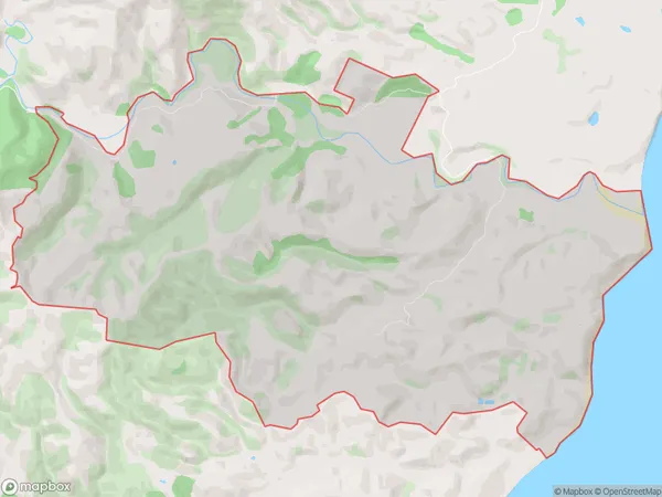
5 people live in Kaiwhata, Masterton, NZKaiwhata Suburb Area Map (Polygon)
Kaiwhata Introduction
Kaiwhata is a small rural community in the Wairarapa region of New Zealand, located about 30 minutes south of Masterton. It is known for its beautiful rural scenery, including rolling hills, farmland, and picturesque rivers. The community has a population of around 200 people and is home to a variety of businesses, including a primary school, a post office, and a small supermarket. Kaiwhata is also a popular destination for outdoor enthusiasts, with many walking and hiking trails nearby.Region
Major City
Suburb Name
KaiwhataKaiwhata Area Map (Street)
Local Authority
Carterton DistrictFull Address
Kaiwhata, Carterton District,Address Type
Locality in Town MastertonKaiwhata Suburb Map (Satellite)
Country
Main Region in AU
WellingtonKaiwhata Region Map
Coordinates
0,0 (latitude/longitude)Distances
The distance from Kaiwhata, Masterton, Carterton District to NZ Top 10 Cities