Flat Point Area, Flat Point Postcode(5713) & Map in Flat Point
Flat Point Area, Flat Point Postcode(5713) & Map in Flat Point, Carterton District, New Zealand
Flat Point, Carterton District, New Zealand
Flat Point Postcodes
Flat Point Area (estimated)
26.5 square kilometersFlat Point Population (estimated)
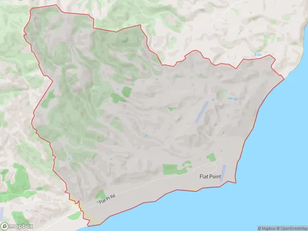
36 people live in Flat Point, Wellington, NZFlat Point Suburb Area Map (Polygon)
Flat Point Introduction
Flat Point is a suburb of Masterton in the Wellington Region of New Zealand. It is located on the southern bank of the Wairarapa River, approximately 10 kilometers south of Masterton town center. The suburb has a population of around 1,200 people and is known for its rural atmosphere and scenic views. The area was first settled in the 1840s by German immigrants and has since developed into a popular residential area.Region
Major City
Suburb Name
Flat PointOther Name(s)
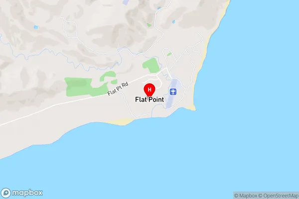
Flat PtFlat Point Area Map (Street)
Local Authority
Carterton DistrictFull Address
Flat Point, Carterton District, New ZealandAddress Type
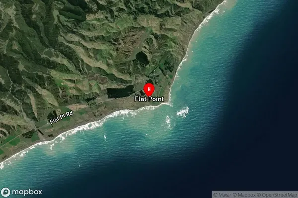
Locality in Town MastertonFlat Point Suburb Map (Satellite)
Country
Main Region in AU
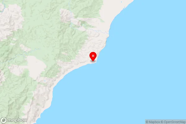
WellingtonFlat Point Region Map
Coordinates
-41.2441492,175.9564197 (latitude/longitude)Distances
The distance from Flat Point, Masterton, Carterton District to NZ Top 10 Cities