Castlepoint Area, Castlepoint Postcode(5810) & Map in Castlepoint
Castlepoint Area, Castlepoint Postcode(5810) & Map in Castlepoint, Masterton District, New Zealand
Castlepoint, Masterton District, New Zealand
Castlepoint Postcodes
Castlepoint Area (estimated)
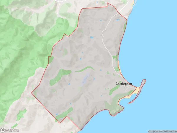
15.6 square kilometersCastlepoint Population (estimated)
70 people live in Castlepoint, Wellington, NZCastlepoint Suburb Area Map (Polygon)
Castlepoint Introduction
Castlepoint is a coastal suburb of Wellington, New Zealand, located on the southern side of the harbor. It is known for its scenic views, beaches, and recreational activities such as hiking, biking, and fishing. The area has a rich history, with several historic buildings and landmarks, including Castlepoint Lighthouse and the Castlepoint Reserve.Region
Major City
Suburb Name
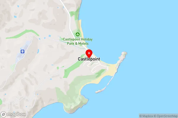
CastlepointCastlepoint Area Map (Street)
Local Authority
Masterton DistrictFull Address
Castlepoint, Masterton District, New ZealandAddress Type
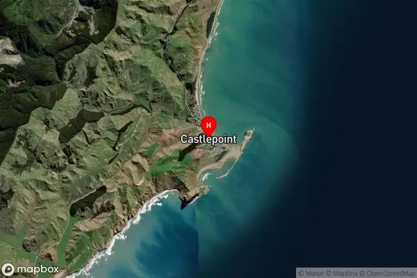
Locality in Major Locality TinuiCastlepoint Suburb Map (Satellite)
Country
Main Region in AU
WellingtonCastlepoint Region Map

Coordinates
-40.9008816,176.2217236 (latitude/longitude)Distances
The distance from Castlepoint, Tinui, Masterton District to NZ Top 10 Cities