Eastbourne Area, Eastbourne Postcode(5013) & Map in Eastbourne
Eastbourne Area, Eastbourne Postcode(5013) & Map in Eastbourne, Lower Hutt City, New Zealand
Eastbourne, Lower Hutt City, New Zealand
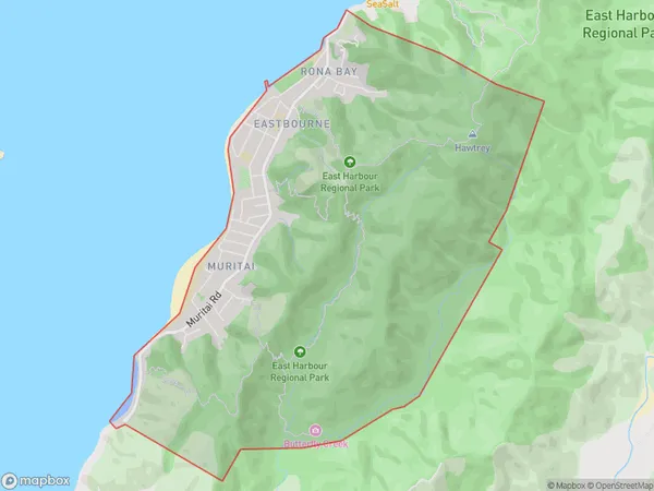
Eastbourne Area (estimated)
7.6 square kilometersEastbourne Population (estimated)
2802 people live in Eastbourne, Lower Hutt, NZEastbourne Suburb Area Map (Polygon)
Eastbourne Introduction
Eastbourne is a suburb of Lower Hutt, Wellington, New Zealand. It is located on the eastern coast of the North Island, about 10 kilometers south of Wellington's central business district. The suburb has a population of around 60,000 people and is known for its beaches, parks, and vibrant community. Eastbourne has a rich history, with many historic buildings and sites, including the Eastbourne Library and the Eastbourne Museum. It is also home to a number of popular cafes, restaurants, and shops.Region
Major City
Suburb Name
EastbourneOther Name(s)
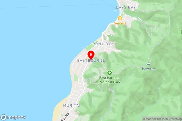
MuritaiEastbourne Area Map (Street)
Local Authority
Lower Hutt CityFull Address
Eastbourne, Lower Hutt City, New ZealandAddress Type
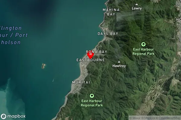
Suburb in City Lower HuttEastbourne Suburb Map (Satellite)
Country
Main Region in AU
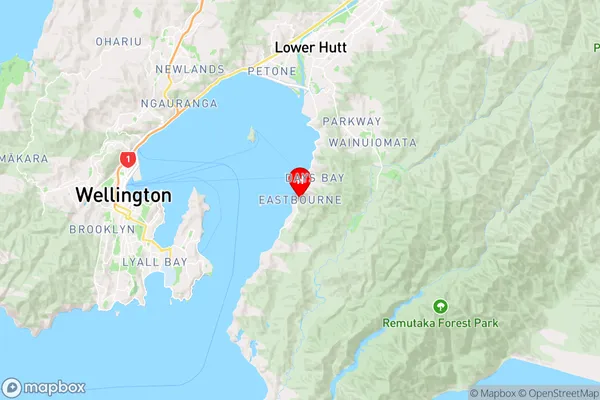
WellingtonEastbourne Region Map
Coordinates
-41.2913416,174.8984175 (latitude/longitude)Distances
The distance from Eastbourne, Lower Hutt, Lower Hutt City to NZ Top 10 Cities