Days Bay Area, Days Bay Postcode(5013) & Map in Days Bay
Days Bay Area, Days Bay Postcode(5013) & Map in Days Bay, Lower Hutt City, New Zealand
Days Bay, Lower Hutt City, New Zealand
Days Bay Postcodes
Days Bay Area (estimated)
1.8 square kilometersDays Bay Population (estimated)
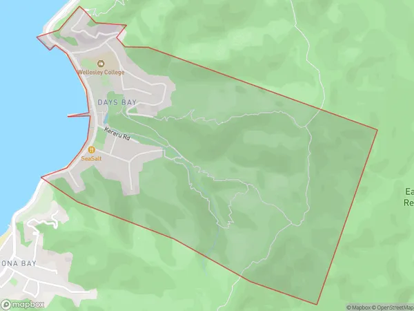
610 people live in Days Bay, Lower Hutt, NZDays Bay Suburb Area Map (Polygon)
Days Bay Introduction
Days Bay is a popular beach in Lower Hutt, Wellington, New Zealand. It is known for its wide sandy shore, calm waters, and stunning views of the city skyline. The beach is a popular spot for swimming, sunbathing, and watersports, and there are several cafes and restaurants nearby. The area also has a rich history, with several historic buildings and monuments located along the beachfront.Region
Major City
Suburb Name
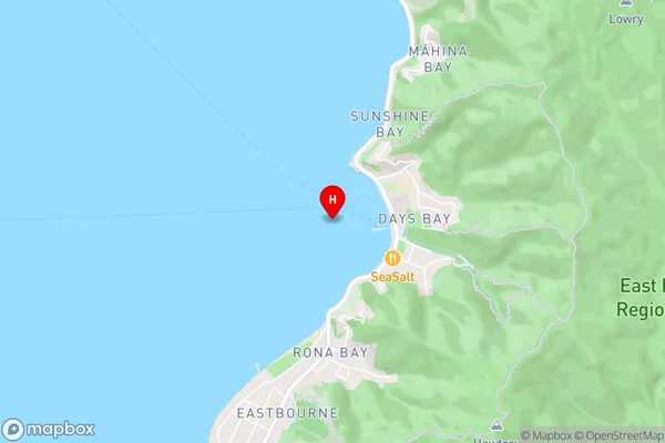
Days BayDays Bay Area Map (Street)
Local Authority
Lower Hutt CityFull Address
Days Bay, Lower Hutt City, New ZealandAddress Type
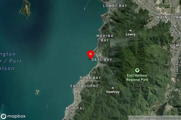
Suburb in City Lower HuttDays Bay Suburb Map (Satellite)
Country
Main Region in AU
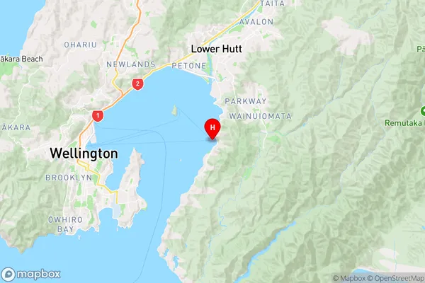
WellingtonDays Bay Region Map
Coordinates
-41.2801704,174.9019409 (latitude/longitude)Distances
The distance from Days Bay, Lower Hutt, Lower Hutt City to NZ Top 10 Cities