Mahina Bay Area, Mahina Bay Postcode(5013) & Map in Mahina Bay
Mahina Bay Area, Mahina Bay Postcode(5013) & Map in Mahina Bay, Lower Hutt City, New Zealand
Mahina Bay, Lower Hutt City, New Zealand
Mahina Bay Postcodes
Mahina Bay Area (estimated)
1.2 square kilometersMahina Bay Population (estimated)
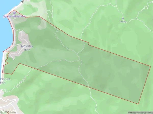
155 people live in Mahina Bay, Lower Hutt, NZMahina Bay Suburb Area Map (Polygon)
Mahina Bay Introduction
Mahina Bay is a popular beach in Lower Hutt, Wellington, New Zealand. It is known for its golden sand, crystal-clear waters, and stunning sunsets. The beach is a popular spot for swimming, sunbathing, and beach volleyball, and there are also several cafes and restaurants nearby. The area is surrounded by beautiful parks and gardens, and there are walking and cycling trails that lead to other parts of the city.Region
Major City
Suburb Name
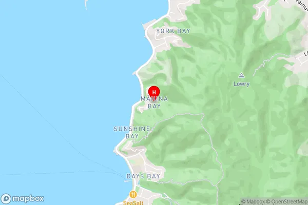
Mahina Bay (Maori Name: Māhina Bay)Mahina Bay Area Map (Street)
Local Authority
Lower Hutt CityFull Address
Mahina Bay, Lower Hutt City, New ZealandAddress Type
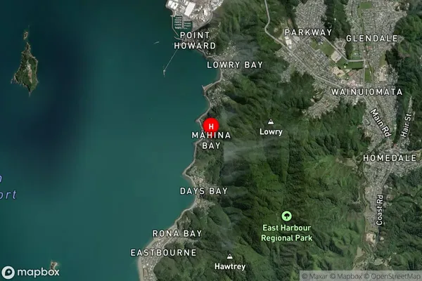
Suburb in City Lower HuttMahina Bay Suburb Map (Satellite)
Country
Main Region in AU
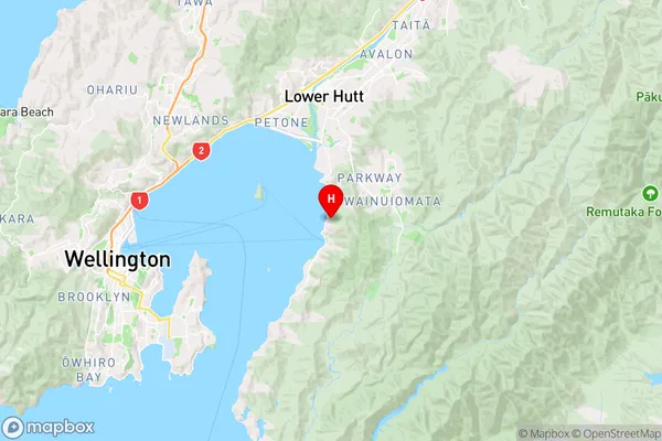
WellingtonMahina Bay Region Map
Coordinates
-41.270727,174.9100664 (latitude/longitude)Distances
The distance from Mahina Bay, Lower Hutt, Lower Hutt City to NZ Top 10 Cities