Point Howard Area, Point Howard Postcode(5010) & Map in Point Howard
Point Howard Area, Point Howard Postcode(5010) & Map in Point Howard, Lower Hutt City, New Zealand
Point Howard, Lower Hutt City, New Zealand
Point Howard Area (estimated)
0.7 square kilometersPoint Howard Population (estimated)
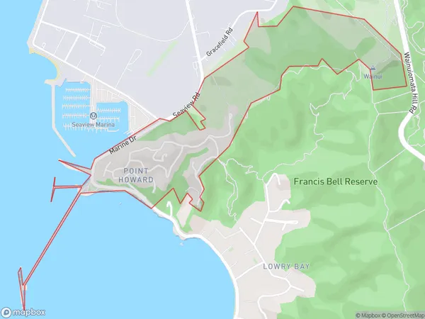
341 people live in Point Howard, Lower Hutt, NZPoint Howard Suburb Area Map (Polygon)
Point Howard Introduction
Point Howard is a residential suburb of Lower Hutt, Wellington, New Zealand. It is located on the southern shore of the Hutt River, approximately 5 kilometers from the city center. The suburb has a mix of residential housing, with some apartments and townhouses, and a large number of single-family homes. Point Howard has a peaceful and suburban atmosphere, with many parks and recreational facilities, including a golf course and a swimming pool. The area is well-connected to public transportation, with bus routes and a train station nearby.Region
Major City
Suburb Name
Point HowardOther Name(s)
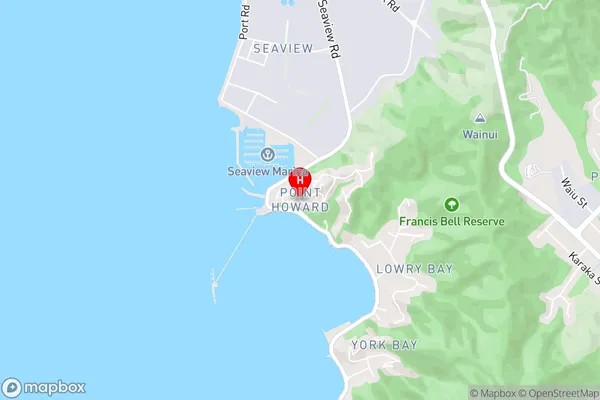
Pt HowardPoint Howard Area Map (Street)
Local Authority
Lower Hutt CityFull Address
Point Howard, Lower Hutt City, New ZealandAddress Type
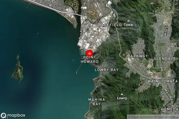
Suburb in City Lower HuttPoint Howard Suburb Map (Satellite)
Country
Main Region in AU
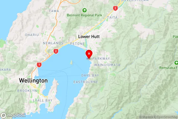
WellingtonPoint Howard Region Map
Coordinates
-41.2523714,174.9060454 (latitude/longitude)Distances
The distance from Point Howard, Lower Hutt, Lower Hutt City to NZ Top 10 Cities