Lowry Bay Area, Lowry Bay Postcode(5010) & Map in Lowry Bay
Lowry Bay Area, Lowry Bay Postcode(5010) & Map in Lowry Bay, Lower Hutt City, New Zealand
Lowry Bay, Lower Hutt City, New Zealand
Lowry Bay Area (estimated)
1.9 square kilometersLowry Bay Population (estimated)
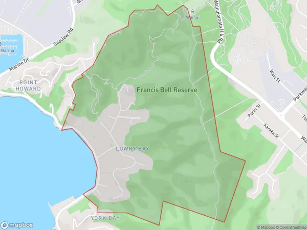
617 people live in Lowry Bay, Lower Hutt, NZLowry Bay Suburb Area Map (Polygon)
Lowry Bay Introduction
Lowry Bay is a popular beach in Lower Hutt, Wellington, New Zealand. It is known for its wide sandy shore, safe swimming conditions, and stunning views of the harbor and city skyline. The bay is a popular spot for swimming, sunbathing, and picnicking, and it is also home to a variety of wildlife, including seals and penguins.Region
Major City
Suburb Name
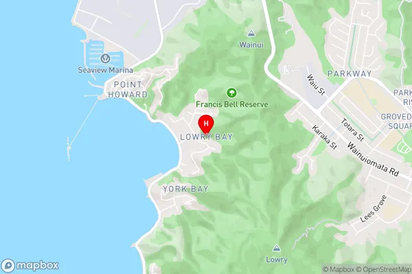
Lowry BayLowry Bay Area Map (Street)
Local Authority
Lower Hutt CityFull Address
Lowry Bay, Lower Hutt City, New ZealandAddress Type
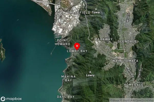
Suburb in City Lower HuttLowry Bay Suburb Map (Satellite)
Country
Main Region in AU
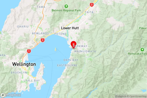
WellingtonLowry Bay Region Map
Coordinates
-41.2568327,174.9158391 (latitude/longitude)Distances
The distance from Lowry Bay, Lower Hutt, Lower Hutt City to NZ Top 10 Cities