Cormacks Area, Cormacks Postcode(9401) & Map in Cormacks
Cormacks Area, Cormacks Postcode(9401) & Map in Cormacks, Waitaki District, New Zealand
Cormacks, Waitaki District, New Zealand
Cormacks Postcodes
Cormacks Area (estimated)
8.3 square kilometersCormacks Population (estimated)
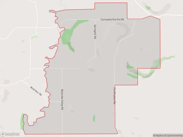
58 people live in Cormacks, Otago, NZCormacks Suburb Area Map (Polygon)
Cormacks Introduction
Cormacks is a small rural community in Otago, New Zealand, located on the banks of the Oamaru River. It is known for its historic stone buildings and scenic surroundings, and is a popular tourist destination. The area was first settled by Europeans in the 1860s, and has a rich history of farming and mining. Cormacks is also home to a variety of wildlife, including kea, tui, and otago penguins.Region
Major City
Suburb Name
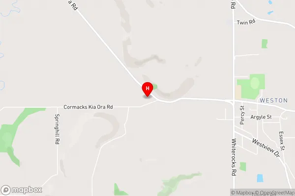
CormacksCormacks Area Map (Street)
Local Authority
Waitaki DistrictFull Address
Cormacks, Waitaki District, New ZealandAddress Type
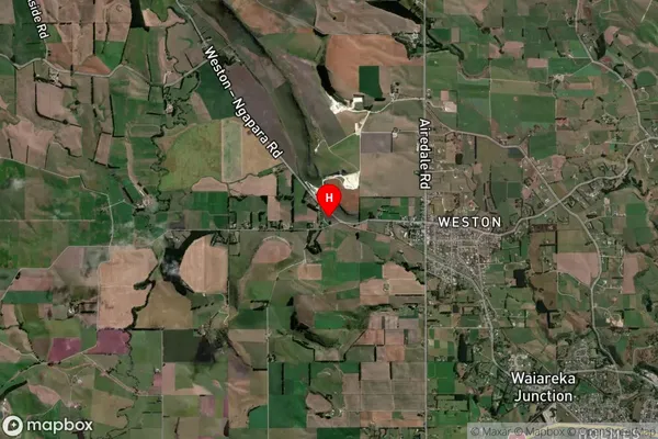
Locality in Town OamaruCormacks Suburb Map (Satellite)
Country
Main Region in AU
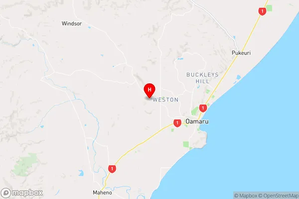
OtagoCormacks Region Map
Coordinates
-45.0784746,170.9030414 (latitude/longitude)Distances
The distance from Cormacks, Oamaru, Waitaki District to NZ Top 10 Cities