Anakiwa Area, Anakiwa Postcode(7281) & Map in Anakiwa
Anakiwa Area, Anakiwa Postcode(7281) & Map in Anakiwa, Marlborough District, New Zealand
Anakiwa, Marlborough District, New Zealand
Anakiwa Postcodes
Anakiwa Area (estimated)
8.9 square kilometersAnakiwa Population (estimated)
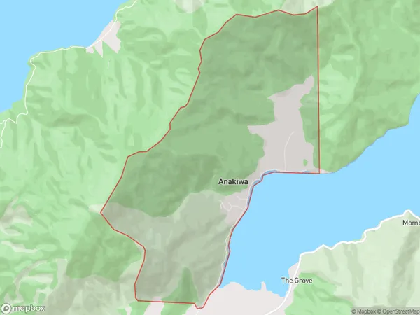
188 people live in Anakiwa, Marlborough, NZAnakiwa Suburb Area Map (Polygon)
Anakiwa Introduction
Anakiwa is a small rural town in Marlborough, New Zealand. It is located on State Highway 1, between Blenheim and Renwick. The town has a population of around 1,000 people and is known for its scenic surroundings, including the Anakiwa Forest Park and the Anakiwa River. The town also has a primary school, a post office, and a convenience store.Region
0Suburb Name
AnakiwaOther Name(s)
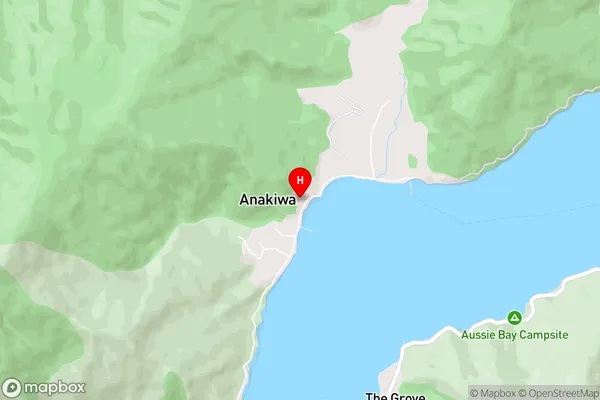
UmungataAnakiwa Area Map (Street)
Local Authority
Marlborough DistrictFull Address
Anakiwa, Marlborough District, New ZealandAddress Type
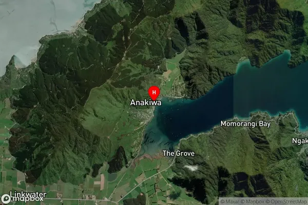
Locality in Major Locality LinkwaterAnakiwa Suburb Map (Satellite)
Country
Main Region in AU
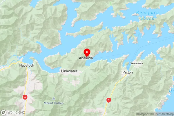
MarlboroughAnakiwa Region Map
Coordinates
-41.2655118,173.9105838 (latitude/longitude)Distances
The distance from Anakiwa, Linkwater, Marlborough District to NZ Top 10 Cities