Linkwater Area, Linkwater Postcode(7281) & Map in Linkwater
Linkwater Area, Linkwater Postcode(7281) & Map in Linkwater, Marlborough District, New Zealand
Linkwater, Marlborough District, New Zealand
Linkwater Postcodes
Linkwater Area (estimated)
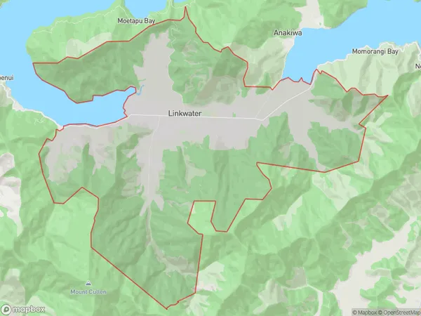
60.3 square kilometersLinkwater Population (estimated)
132 people live in Linkwater, Marlborough, NZLinkwater Suburb Area Map (Polygon)
Linkwater Introduction
Linkwater is a small rural town in Marlborough, New Zealand. It is known for its scenic countryside, vineyards, and peaceful atmosphere. The town has a population of around 1,000 people and is located about 30 minutes' drive from Blenheim, the region's capital city. Linkwater is surrounded by picturesque farmland and has a variety of recreational facilities, including a golf course, a swimming pool, and a tennis court. The town also has a primary school and a convenience store.Region
0Suburb Name
LinkwaterOther Name(s)
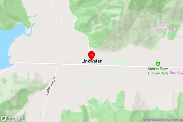
Momorangi, The GroveLinkwater Area Map (Street)
Local Authority
Marlborough DistrictFull Address
Linkwater, Marlborough District, New ZealandAddress Type
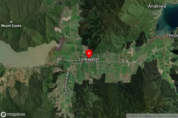
Locality in Major Locality LinkwaterLinkwater Suburb Map (Satellite)
Country
Main Region in AU
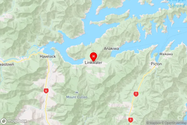
MarlboroughLinkwater Region Map
Coordinates
-41.2886551,173.8684777 (latitude/longitude)Distances
The distance from Linkwater, Linkwater, Marlborough District to NZ Top 10 Cities