Totaranui Area, Totaranui Postcode & Map in Totaranui
Totaranui Area, Totaranui Postcode & Map in Totaranui, Marlborough District,
Totaranui, Marlborough District,
Totaranui Area (estimated)
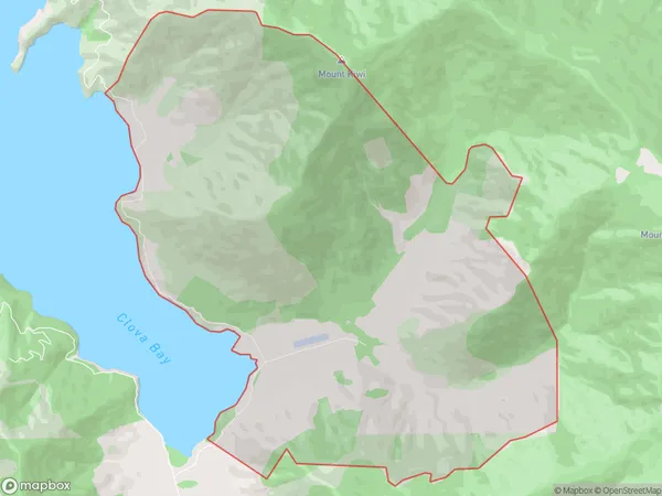
20.8 square kilometersTotaranui Population (estimated)
7 people live in Totaranui, , NZTotaranui Suburb Area Map (Polygon)
Totaranui Introduction
Totaranui is a small, secluded beach located in the Marlborough Sounds, New Zealand. It is known for its stunning natural beauty, including rugged cliffs, crystal-clear waters, and lush green forests. The beach is only accessible by boat or a long walk through a scenic forest trail, making it a popular destination for those seeking a peaceful and secluded getaway.0Suburb Name
Totaranui (Maori Name: Tōtaranui)Totaranui Area Map (Street)
Local Authority
Marlborough DistrictFull Address
Totaranui, Marlborough District,Address Type
Locality in Major Locality Marlborough SoundsTotaranui Suburb Map (Satellite)
Country
Main Region in AU
Totaranui Region Map
Coordinates
0,0 (latitude/longitude)Distances
The distance from Totaranui, Marlborough Sounds, Marlborough District to NZ Top 10 Cities