French Pass / Anaru Area, French Pass / Anaru Postcode & Map in French Pass / Anaru
French Pass / Anaru Area, French Pass / Anaru Postcode & Map in French Pass / Anaru, Marlborough District, New Zealand
French Pass / Anaru, Marlborough District, New Zealand
French Pass / Anaru Area (estimated)
17.1 square kilometersFrench Pass / Anaru Population (estimated)
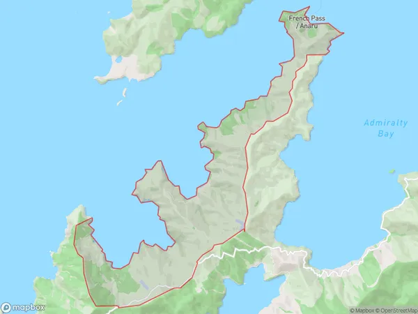
13 people live in French Pass / Anaru, Marlborough, NZFrench Pass / Anaru Suburb Area Map (Polygon)
French Pass / Anaru Introduction
The French Pass is a narrow strait in the Marlborough Sounds, New Zealand, that connects the Pacific Ocean with the Tasman Sea. It is known for its stunning scenery, including rugged cliffs, lush forests, and crystal-clear waters. The pass is a popular spot for kayaking, sailing, and fishing, and is also home to a variety of wildlife, including seals, dolphins, and penguins.Region
0Suburb Name
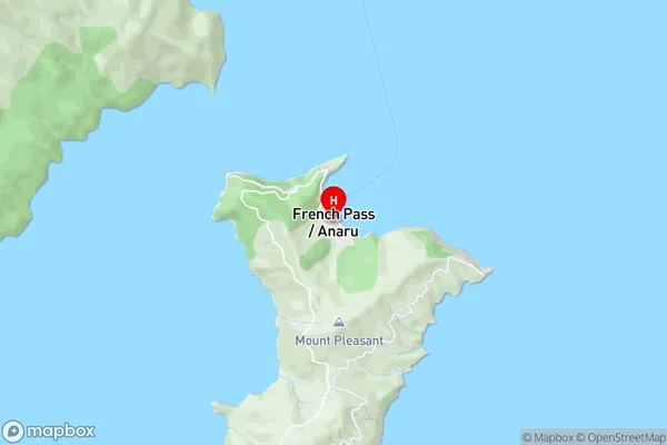
French Pass / AnaruFrench Pass / Anaru Area Map (Street)
Local Authority
Marlborough DistrictFull Address
French Pass / Anaru, Marlborough District, New ZealandAddress Type
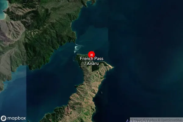
Locality in Major Locality Marlborough SoundsFrench Pass / Anaru Suburb Map (Satellite)
Country
Main Region in AU
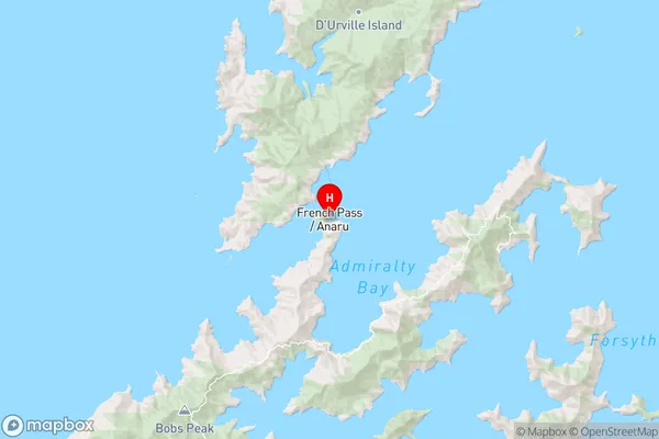
MarlboroughFrench Pass / Anaru Region Map
Coordinates
-40.9269423,173.8431294 (latitude/longitude)Distances
The distance from French Pass / Anaru, Marlborough Sounds, Marlborough District to NZ Top 10 Cities