Glenduan Area, Glenduan Postcode(7045) & Map in Glenduan
Glenduan Area, Glenduan Postcode(7045) & Map in Glenduan, Nelson City, New Zealand
Glenduan, Nelson City, New Zealand
Glenduan Postcodes
Glenduan Area (estimated)
15.4 square kilometersGlenduan Population (estimated)
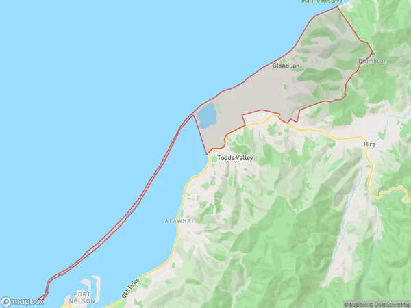
288 people live in Glenduan, Nelson, NZGlenduan Suburb Area Map (Polygon)
Glenduan Introduction
Glenduan is a small rural community in the Nelson region of New Zealand, known for its scenic surroundings and peaceful atmosphere. It is located on the banks of the Glenduan River, and is surrounded by lush green hills and farmland. The community has a small population of around 100 people, and is home to a variety of historic buildings, including a church and a school. Glenduan is a popular destination for outdoor enthusiasts, with many walking and hiking trails in the surrounding area. The community also has a local museum and a community hall, which hosts a variety of events and activities throughout the year.Region
Major City
Suburb Name
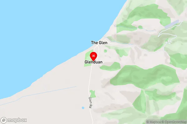
GlenduanGlenduan Area Map (Street)
Local Authority
Nelson CityFull Address
Glenduan, Nelson City, New ZealandAddress Type
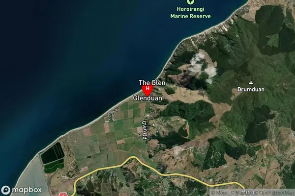
Locality in City NelsonGlenduan Suburb Map (Satellite)
Country
Main Region in AU
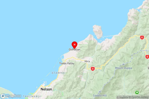
NelsonGlenduan Region Map
Coordinates
-41.1882465,173.3618332 (latitude/longitude)Distances
The distance from Glenduan, Nelson, Nelson City to NZ Top 10 Cities