Marybank Area, Marybank Postcode(7010) & Map in Marybank
Marybank Area, Marybank Postcode(7010) & Map in Marybank, Nelson City, New Zealand
Marybank, Nelson City, New Zealand
Marybank Postcodes
Marybank Area (estimated)
1.5 square kilometersMarybank Population (estimated)
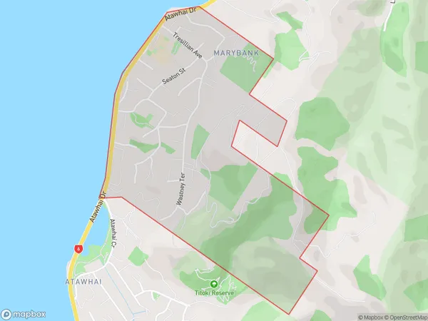
1085 people live in Marybank, Nelson, NZMarybank Suburb Area Map (Polygon)
Marybank Introduction
Marybank is a residential suburb of Nelson, New Zealand, located on the eastern side of the city. It is known for its picturesque gardens, peaceful atmosphere, and convenient location, with easy access to the city center and the surrounding areas. The suburb has a variety of housing options, including single-family homes, apartments, and townhouses, and is home to a diverse community of residents.Region
Major City
Suburb Name
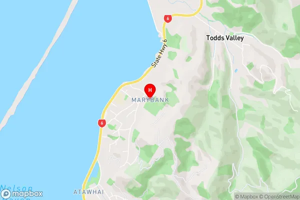
MarybankMarybank Area Map (Street)
Local Authority
Nelson CityFull Address
Marybank, Nelson City, New ZealandAddress Type
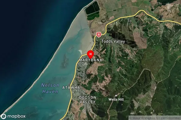
Suburb in City NelsonMarybank Suburb Map (Satellite)
Country
Main Region in AU
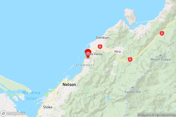
NelsonMarybank Region Map
Coordinates
-41.2252039,173.3276638 (latitude/longitude)Distances
The distance from Marybank, Nelson, Nelson City to NZ Top 10 Cities