Atawhai Area, Atawhai Postcode(7030) & Map in Atawhai
Atawhai Area, Atawhai Postcode(7030) & Map in Atawhai, Nelson City, New Zealand
Atawhai, Nelson City, New Zealand
Atawhai Area (estimated)
8.9 square kilometersAtawhai Population (estimated)
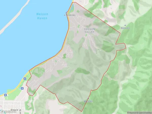
2922 people live in Atawhai, Nelson, NZAtawhai Suburb Area Map (Polygon)
Atawhai Introduction
Atawhai is a small rural community in the Nelson region of New Zealand, located between Richmond and Nelson City. It is known for its scenic views, tranquil environment, and friendly community. The area has a variety of recreational facilities, including a golf course, a tennis court, and a swimming pool. Atawhai is also home to a number of historic buildings, including the Atawhai Church, which was built in 1875.Region
Major City
Suburb Name
AtawhaiOther Name(s)
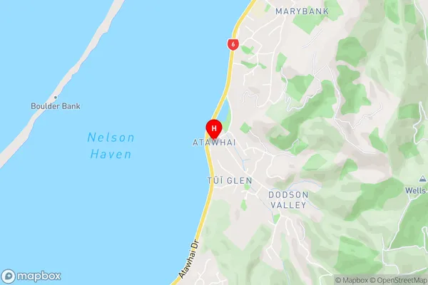
Brooklands, Dodson Valley, Tui GlenAtawhai Area Map (Street)
Local Authority
Nelson CityFull Address
Atawhai, Nelson City, New ZealandAddress Type
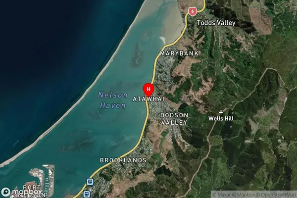
Suburb in City NelsonAtawhai Suburb Map (Satellite)
Country
Main Region in AU
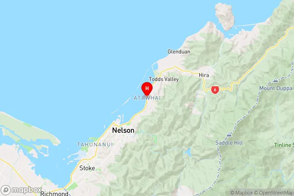
NelsonAtawhai Region Map
Coordinates
-41.2370811,173.3171034 (latitude/longitude)Distances
The distance from Atawhai, Nelson, Nelson City to NZ Top 10 Cities