Stepneyville Area, Stepneyville Postcode(7030) & Map in Stepneyville
Stepneyville Area, Stepneyville Postcode(7030) & Map in Stepneyville, Nelson City, New Zealand
Stepneyville, Nelson City, New Zealand
Stepneyville Postcodes
Stepneyville Area (estimated)
0.6 square kilometersStepneyville Population (estimated)
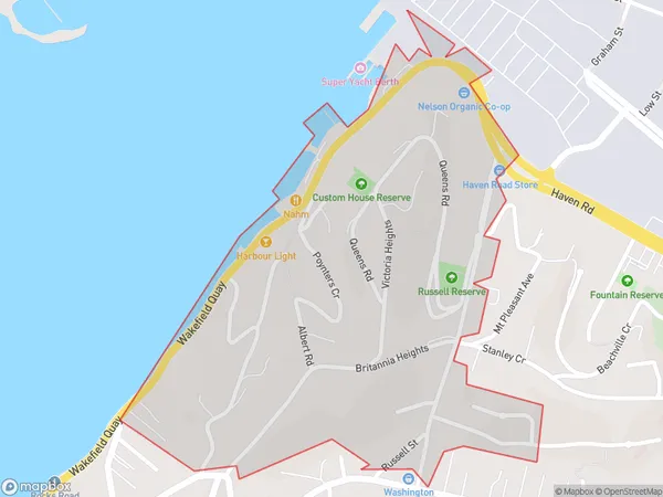
1041 people live in Stepneyville, Nelson, NZStepneyville Suburb Area Map (Polygon)
Stepneyville Introduction
Stepneyville is a suburb of Nelson, New Zealand, located on the eastern side of the city. It is known for its historic homes, beautiful gardens, and vibrant community. The suburb has a strong sense of community spirit and is home to a variety of cultural and recreational facilities, including a library, sports park, and community center. Stepneyville is also well-connected to the rest of Nelson, with easy access to the city center and the surrounding areas.Region
Major City
Suburb Name
StepneyvilleOther Name(s)
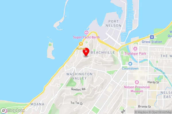
StepheyvilleStepneyville Area Map (Street)
Local Authority
Nelson CityFull Address
Stepneyville, Nelson City, New ZealandAddress Type
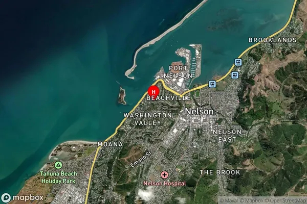
Suburb in City NelsonStepneyville Suburb Map (Satellite)
Country
Main Region in AU
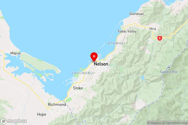
NelsonStepneyville Region Map
Coordinates
-41.2687267,173.2683849 (latitude/longitude)Distances
The distance from Stepneyville, Nelson, Nelson City to NZ Top 10 Cities