Nelson Airport Area, Nelson Airport Postcode(7011) & Map in Nelson Airport
Nelson Airport Area, Nelson Airport Postcode(7011) & Map in Nelson Airport, Nelson City, New Zealand
Nelson Airport, Nelson City, New Zealand
Nelson Airport Postcodes
Nelson Airport Area (estimated)
1.6 square kilometersNelson Airport Population (estimated)
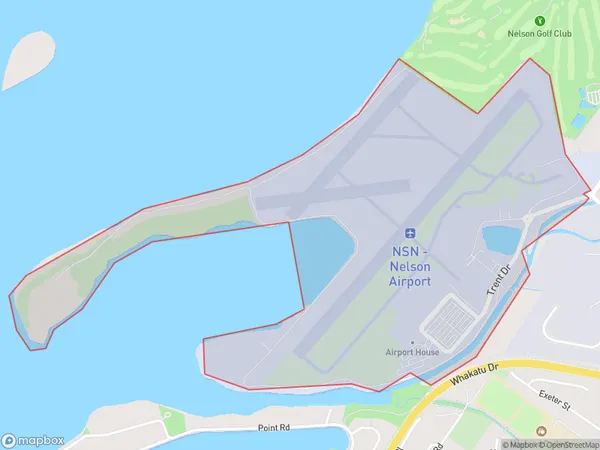
30 people live in Nelson Airport, Nelson, NZNelson Airport Suburb Area Map (Polygon)
Nelson Airport Introduction
Nelson Airport is located in Nelson, New Zealand, and serves the region as a primary aviation hub. It is the second busiest airport in the South Island, handling both domestic and international flights. The airport offers a range of services and facilities, including passenger terminals, cargo facilities, and a range of aviation-related businesses. It is also home to the Nelson Aviation College, which provides training and education in aviation and related fields.Region
Major City
Suburb Name
Nelson AirportOther Name(s)
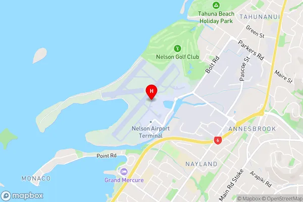
Nelson AerodromeNelson Airport Area Map (Street)
Local Authority
Nelson CityFull Address
Nelson Airport, Nelson City, New ZealandAddress Type
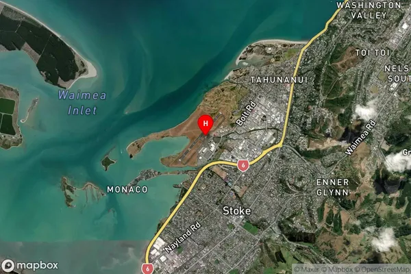
Suburb in City NelsonNelson Airport Suburb Map (Satellite)
Country
Main Region in AU
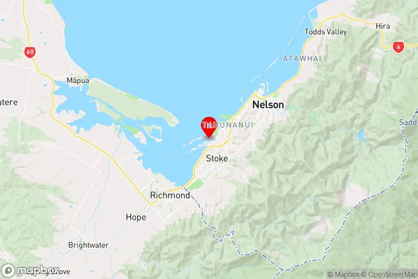
NelsonNelson Airport Region Map
Coordinates
-41.29691015,173.225506996037 (latitude/longitude)Distances
The distance from Nelson Airport, Nelson, Nelson City to NZ Top 10 Cities