Granity Area, Granity Postcode(7823) & Map in Granity
Granity Area, Granity Postcode(7823) & Map in Granity, Buller District, New Zealand
Granity, Buller District, New Zealand
Granity Postcodes
Granity Area (estimated)
4.8 square kilometersGranity Population (estimated)
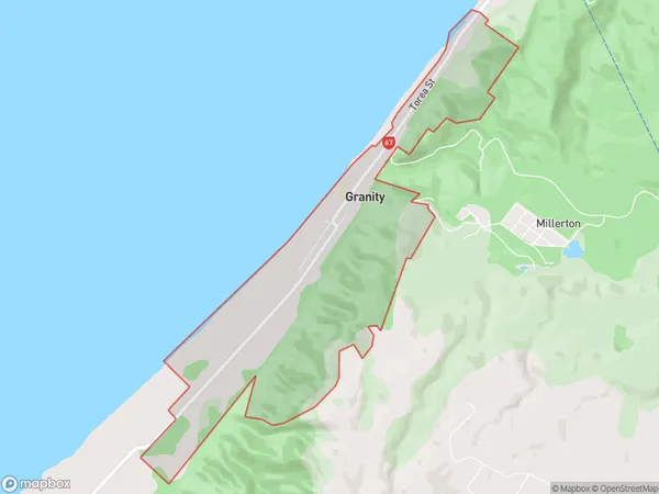
187 people live in Granity, West Coast, NZGranity Suburb Area Map (Polygon)
Granity Introduction
Granity, Granity, West Coast, New Zealand, is a small rural town located in the West Coast region of the South Island. It is known for its stunning natural surroundings, including the Granity Glacier and the surrounding mountains. The town has a population of around 100 people and is a popular destination for outdoor enthusiasts and tourists. The area is also home to a number of historic buildings and landmarks, including the Granity Sawmill and the Old Granity Church.Region
Major City
Suburb Name
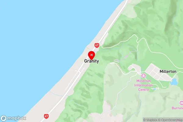
GranityGranity Area Map (Street)
Local Authority
Buller DistrictFull Address
Granity, Buller District, New ZealandAddress Type
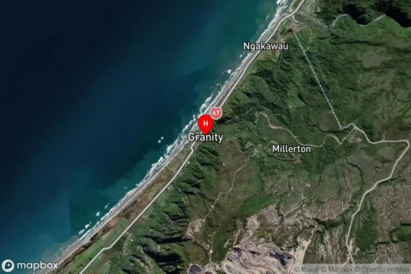
Suburb in Major Locality GranityGranity Suburb Map (Satellite)
Country
Main Region in AU
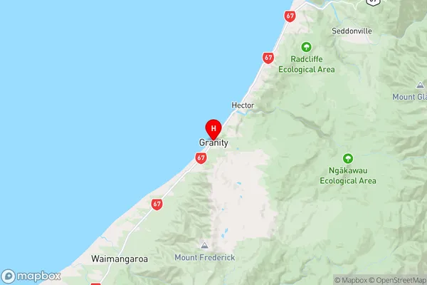
West CoastGranity Region Map
Coordinates
-41.6301692,171.8549525 (latitude/longitude)Distances
The distance from Granity, Granity, Buller District to NZ Top 10 Cities