Point Elizabeth Area, Point Elizabeth Postcode(7802) & Map in Point Elizabeth
Point Elizabeth Area, Point Elizabeth Postcode(7802) & Map in Point Elizabeth, Grey District,
Point Elizabeth, Grey District,
Point Elizabeth Postcodes
Point Elizabeth Area (estimated)
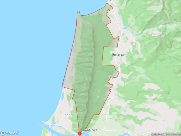
17.2 square kilometersPoint Elizabeth Population (estimated)
58 people live in Point Elizabeth, Greymouth, NZPoint Elizabeth Suburb Area Map (Polygon)
Point Elizabeth Introduction
Point Elizabeth is a small settlement on the west coast of New Zealand's South Island. It is located at the mouth of the Grey River and is a popular tourist destination for its scenic views and outdoor activities. The area is known for its gold mining history and has a number of historic buildings and landmarks.Region
Major City
Suburb Name
Point ElizabethOther Name(s)
Pt ElizabethPoint Elizabeth Area Map (Street)
Local Authority
Grey DistrictFull Address
Point Elizabeth, Grey District,Address Type
Suburb in Town GreymouthPoint Elizabeth Suburb Map (Satellite)
Country
Main Region in AU
West CoastPoint Elizabeth Region Map
Coordinates
0,0 (latitude/longitude)Distances
The distance from Point Elizabeth, Greymouth, Grey District to NZ Top 10 Cities