Cobden Area, Cobden Postcode(7801) & Map in Cobden
Cobden Area, Cobden Postcode(7801) & Map in Cobden, Grey District, New Zealand
Cobden, Grey District, New Zealand
Cobden Area (estimated)
5.0 square kilometersCobden Population (estimated)
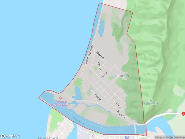
1630 people live in Cobden, West Coast, NZCobden Suburb Area Map (Polygon)
Cobden Introduction
Cobden is a small town on the West Coast of New Zealand's South Island. It is located at the mouth of the Grey River and was once a major coal-mining center. The town has a historic Chinese settlement and is surrounded by stunning natural scenery, including the Southern Alps.Region
Major City
Suburb Name
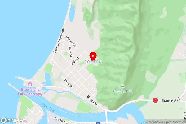
CobdenCobden Area Map (Street)
Local Authority
Grey DistrictFull Address
Cobden, Grey District, New ZealandAddress Type
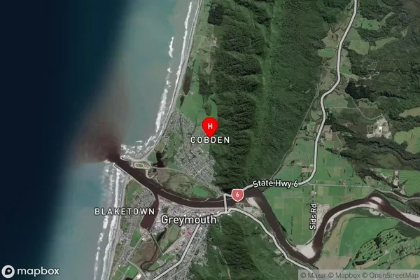
Suburb in Town GreymouthCobden Suburb Map (Satellite)
Country
Main Region in AU
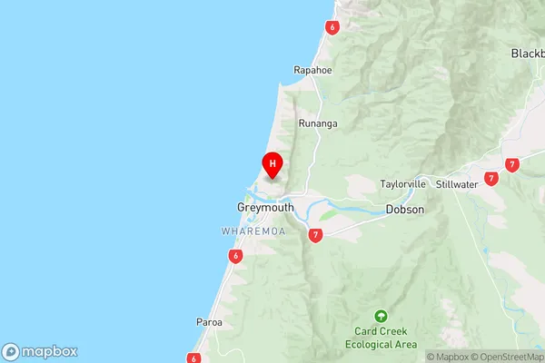
West CoastCobden Region Map
Coordinates
-42.4355495,171.2132179 (latitude/longitude)Distances
The distance from Cobden, Greymouth, Grey District to NZ Top 10 Cities