Camerons Area, Camerons Postcode(7805) & Map in Camerons
Camerons Area, Camerons Postcode(7805) & Map in Camerons, Grey District, New Zealand
Camerons, Grey District, New Zealand
Camerons Postcodes
Camerons Area (estimated)
1.9 square kilometersCamerons Population (estimated)
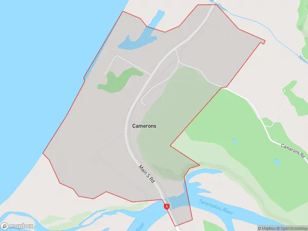
145 people live in Camerons, West Coast, NZCamerons Suburb Area Map (Polygon)
Camerons Introduction
Camerons is a small town on the West Coast of New Zealand's South Island. It is situated at the mouth of the Grey River and is known for its coal mining and forestry industries. The town has a population of around 4,000 people and is surrounded by stunning natural scenery, including the Southern Alps and the Grey Valley.Region
Major City
Suburb Name
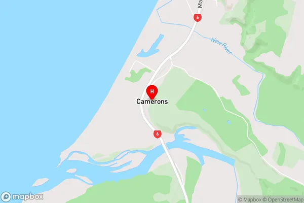
CameronsCamerons Area Map (Street)
Local Authority
Grey DistrictFull Address
Camerons, Grey District, New ZealandAddress Type
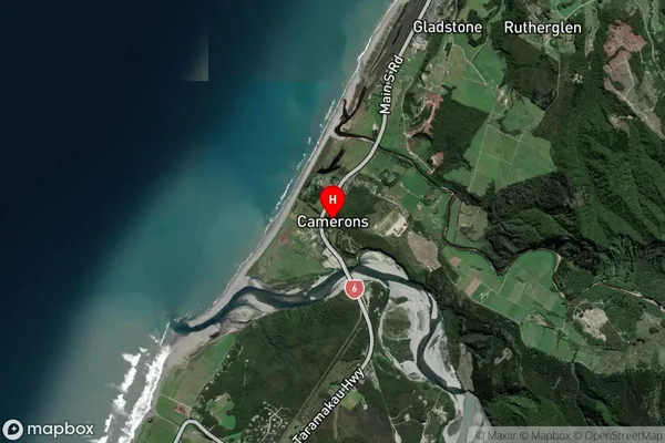
Suburb in Town GreymouthCamerons Suburb Map (Satellite)
Country
Main Region in AU
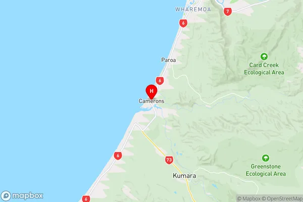
West CoastCamerons Region Map
Coordinates
-42.5551532,171.1422211 (latitude/longitude)Distances
The distance from Camerons, Greymouth, Grey District to NZ Top 10 Cities