Colac Bay/Oraka Area, Colac Bay/Oraka Postcode & Map in Colac Bay/Oraka
Colac Bay/Oraka Area, Colac Bay/Oraka Postcode & Map in Colac Bay/Oraka, Southland District,
Colac Bay/Oraka, Southland District,
Colac Bay/Oraka Area (estimated)
14.9 square kilometersColac Bay/Oraka Population (estimated)
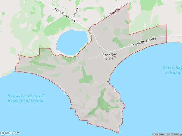
175 people live in Colac Bay/Oraka, , NZColac Bay/Oraka Suburb Area Map (Polygon)
Colac Bay/Oraka Introduction
Colac Bay/Oraka, Riverton/Aparima, Southland, New Zealand, is a small town located on the southern coast of the South Island. It is known for its stunning beaches, clear waters, and picturesque surroundings. The area is popular with tourists and has a variety of accommodation options, including hotels, resorts, and holiday homes. There are also several restaurants and cafes in the town, as well as a golf course and a marina. The town is surrounded by beautiful natural landscapes, including the Southern Alps and the Fiordland National Park.00Suburb Name
Colac Bay/Oraka (Maori Name: Colac Bay/Ōraka)Colac Bay/Oraka Area Map (Street)
Local Authority
Southland DistrictFull Address
Colac Bay/Oraka, Southland District,Address Type
Locality in Town Riverton/AparimaColac Bay/Oraka Suburb Map (Satellite)
Country
Main Region in AU
Colac Bay/Oraka Region Map
Coordinates
0,0 (latitude/longitude)Distances
The distance from Colac Bay/Oraka, Riverton/Aparima, Southland District to NZ Top 10 Cities