Kuri Bush Area, Kuri Bush Postcode(9091) & Map in Kuri Bush
Kuri Bush Area, Kuri Bush Postcode(9091) & Map in Kuri Bush, Dunedin City, New Zealand
Kuri Bush, Dunedin City, New Zealand
Kuri Bush Postcodes
Kuri Bush Area (estimated)
49.8 square kilometersKuri Bush Population (estimated)
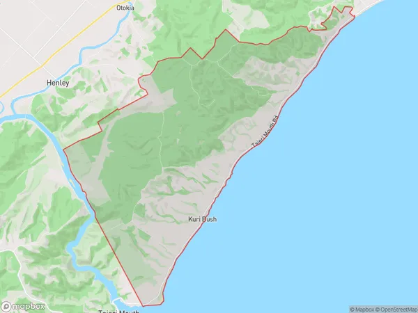
134 people live in Kuri Bush, Otago, NZKuri Bush Suburb Area Map (Polygon)
Kuri Bush Introduction
Kuri Bush is a forest located in Dunedin, Otago, New Zealand. It is known for its stunning kauri trees, which are some of the oldest and largest trees in the world. The forest is a popular tourist destination and is a protected area under the New Zealand Department of Conservation.Region
Major City
Suburb Name
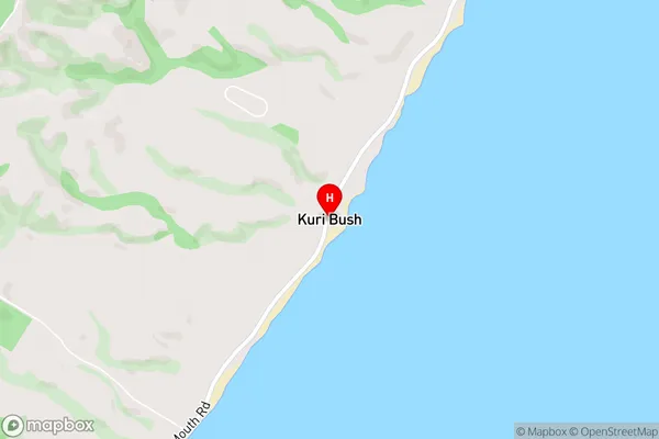
Kuri BushKuri Bush Area Map (Street)
Local Authority
Dunedin CityFull Address
Kuri Bush, Dunedin City, New ZealandAddress Type
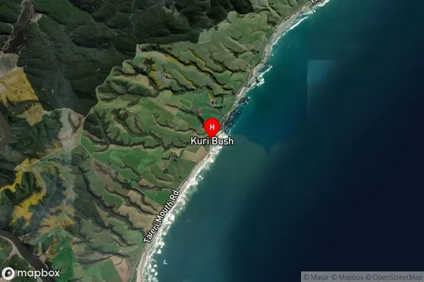
Locality in City DunedinKuri Bush Suburb Map (Satellite)
Country
Main Region in AU
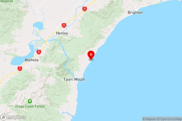
OtagoKuri Bush Region Map
Coordinates
-46.0243252,170.2303252 (latitude/longitude)Distances
The distance from Kuri Bush, Dunedin, Dunedin City to NZ Top 10 Cities