Saint Clair Area, Saint Clair Postcode(9012) & Map in Saint Clair
Saint Clair Area, Saint Clair Postcode(9012) & Map in Saint Clair, Dunedin City, New Zealand
Saint Clair, Dunedin City, New Zealand
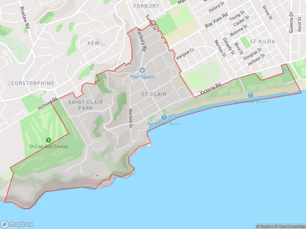
Saint Clair Area (estimated)
2.8 square kilometersSaint Clair Population (estimated)
3435 people live in Saint Clair, Dunedin, NZSaint Clair Suburb Area Map (Polygon)

Saint Clair Introduction
Saint Clair is a suburb of Dunedin, New Zealand, located on the city's eastern shore. It is known for its stunning beach, popular with surfers and beachgoers alike. The suburb also has a rich history, with several historic buildings and monuments, including the Saint Clair Lighthouse and the Saint Clair Beach Hotel.Region
Major City
Suburb Name
Saint ClairOther Name(s)
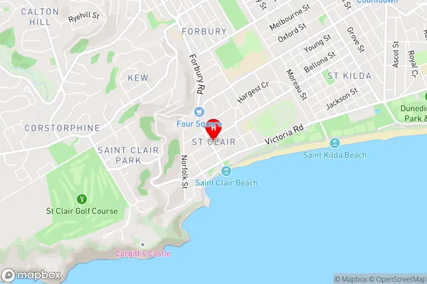
Saint Clair Park, St ClairSaint Clair Area Map (Street)

Local Authority
Dunedin CityFull Address
Saint Clair, Dunedin City, New ZealandAddress Type
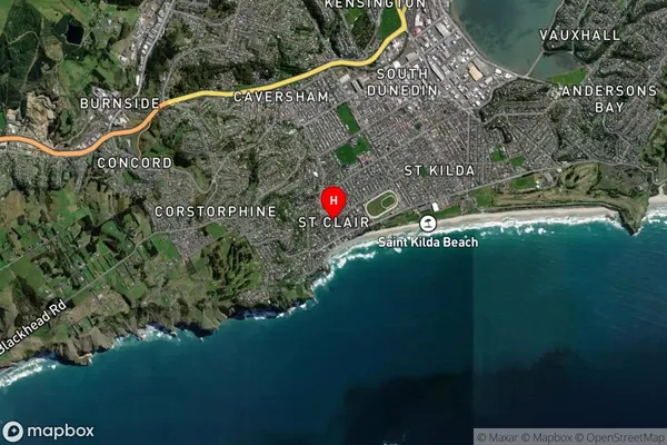
Suburb in City DunedinSaint Clair Suburb Map (Satellite)

Country
Main Region in AU
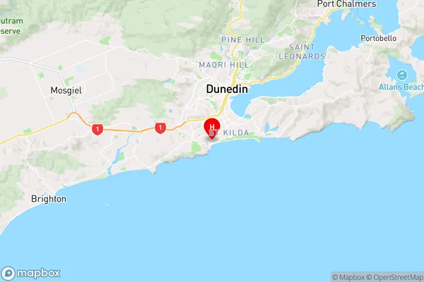
OtagoSaint Clair Region Map

Coordinates
-45.9093912,170.4891455 (latitude/longitude)Distances
The distance from Saint Clair, Dunedin, Dunedin City to NZ Top 10 Cities