College Estate Area, College Estate Postcode(4500) & Map in College Estate
College Estate Area, College Estate Postcode(4500) & Map in College Estate, Whanganui District, New Zealand
College Estate, Whanganui District, New Zealand
College Estate Area (estimated)
1.0 square kilometersCollege Estate Population (estimated)
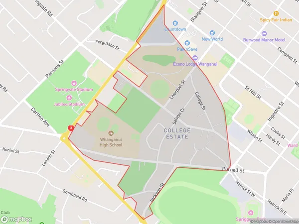
990 people live in College Estate, Whanganui, NZCollege Estate Suburb Area Map (Polygon)
College Estate Introduction
College Estate is a suburb of Whanganui, New Zealand. It is located on the southern bank of the Wanganui River, approximately 5 km from the city center. The suburb was developed in the 1950s and 1960s as a residential area for students of the nearby Whanganui College. It is known for its large number of rental properties and student population.Region
Major City
Suburb Name
College EstateOther Name(s)
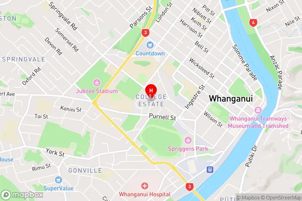
Wanganui CentralCollege Estate Area Map (Street)
Local Authority
Whanganui DistrictFull Address
College Estate, Whanganui District, New ZealandAddress Type
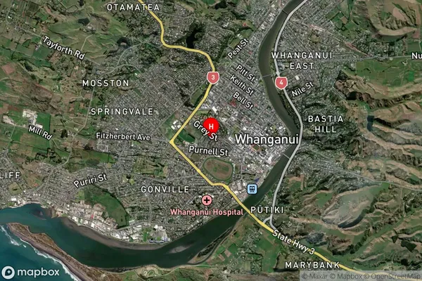
Suburb in Town WhanganuiCollege Estate Suburb Map (Satellite)
Country
Main Region in AU
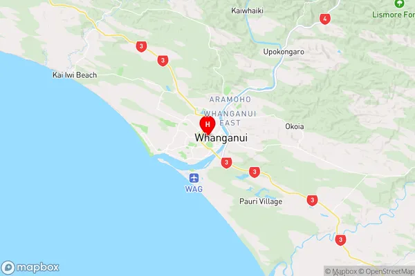
Manawatu-WanganuiCollege Estate Region Map
Coordinates
-39.932741,175.0383146 (latitude/longitude)Distances
The distance from College Estate, Whanganui, Whanganui District to NZ Top 10 Cities