Cape Saunders Area, Cape Saunders Postcode(9054) & Map in Cape Saunders
Cape Saunders Area, Cape Saunders Postcode(9054) & Map in Cape Saunders, Dunedin City, New Zealand
Cape Saunders, Dunedin City, New Zealand
Cape Saunders Postcodes
Cape Saunders Area (estimated)
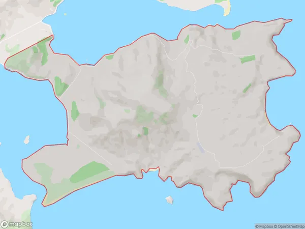
18.6 square kilometersCape Saunders Population (estimated)
43 people live in Cape Saunders, Otago, NZCape Saunders Suburb Area Map (Polygon)
Cape Saunders Introduction
Cape Saunders is a headland on the Otago Peninsula, Dunedin, New Zealand. It is well-known for its stunning views of the Southern Ocean, and the area is a popular spot for hiking, birdwatching, and wildlife spotting. The cape is also home to a small community of people who live in the surrounding areas.Region
Major City
Suburb Name
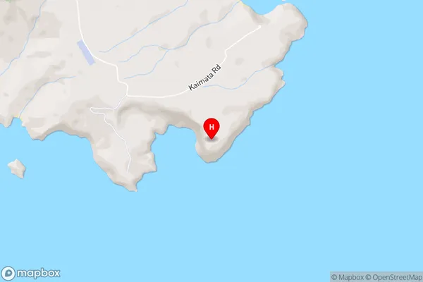
Cape SaundersCape Saunders Area Map (Street)
Local Authority
Dunedin CityFull Address
Cape Saunders, Dunedin City, New ZealandAddress Type
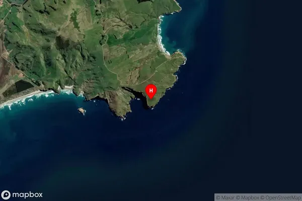
Locality in City DunedinCape Saunders Suburb Map (Satellite)
Country
Main Region in AU
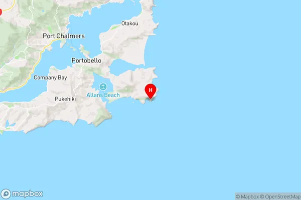
OtagoCape Saunders Region Map
Coordinates
-45.8774924,170.7387382 (latitude/longitude)Distances
The distance from Cape Saunders, Dunedin, Dunedin City to NZ Top 10 Cities