Lower Portobello Area, Lower Portobello Postcode(9054) & Map in Lower Portobello
Lower Portobello Area, Lower Portobello Postcode(9054) & Map in Lower Portobello, Dunedin City, New Zealand
Lower Portobello, Dunedin City, New Zealand
Lower Portobello Postcodes
Lower Portobello Area (estimated)
6.8 square kilometersLower Portobello Population (estimated)
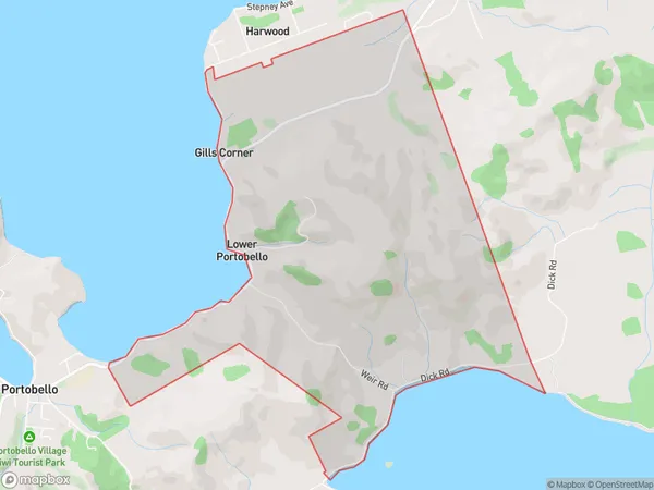
110 people live in Lower Portobello, Otago, NZLower Portobello Suburb Area Map (Polygon)
Lower Portobello Introduction
Lower Portobello is a suburb of Dunedin, New Zealand, located on the southern shore of the Otago Harbour. It is known for its historic buildings, including the Lower Portobello Railway Station, and its vibrant community market. The area has a rich history of mining and industry, and it is home to a diverse range of people and cultures.Region
Major City
Suburb Name
Lower PortobelloOther Name(s)
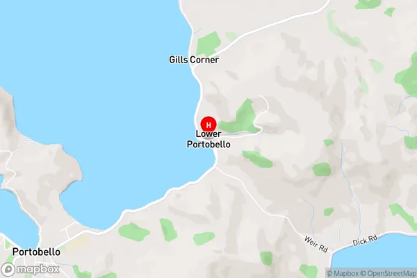
Gills Corner, Weirs LineLower Portobello Area Map (Street)
Local Authority
Dunedin CityFull Address
Lower Portobello, Dunedin City, New ZealandAddress Type
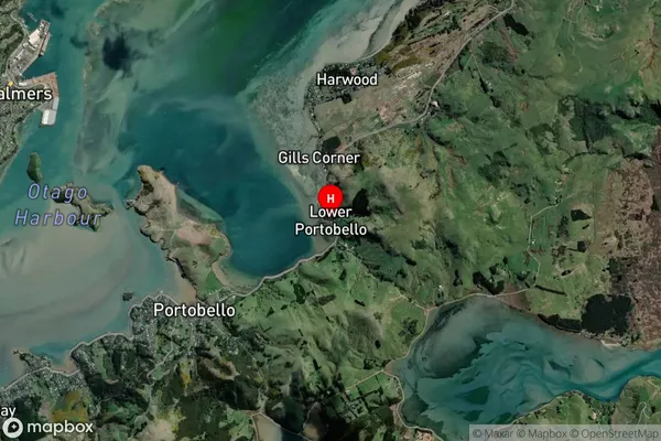
Locality in City DunedinLower Portobello Suburb Map (Satellite)
Country
Main Region in AU
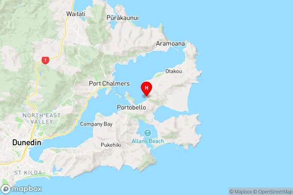
OtagoLower Portobello Region Map
Coordinates
-45.8299815,170.6721712 (latitude/longitude)Distances
The distance from Lower Portobello, Dunedin, Dunedin City to NZ Top 10 Cities